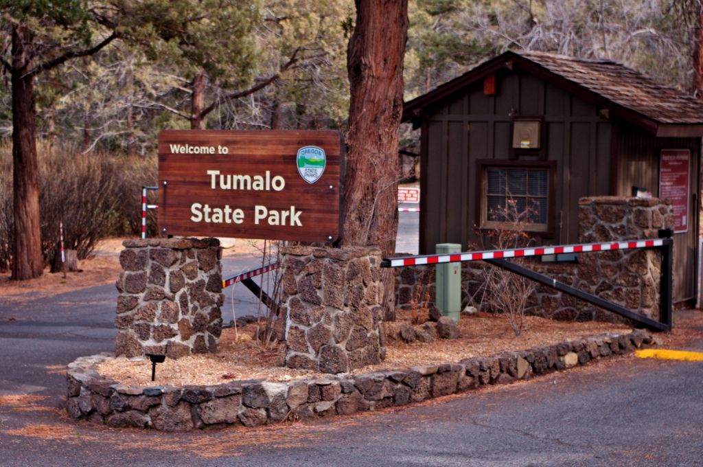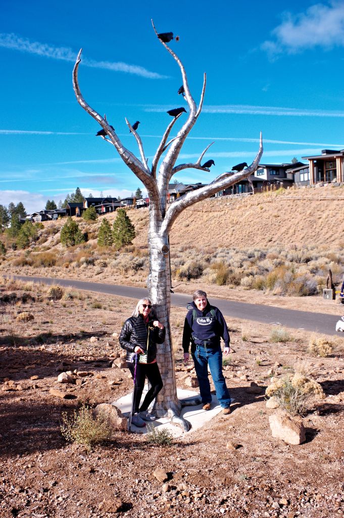
For the last three days the Troll family tribe has been on exploring trips. Poppa T, Pinx, and Aqua have been taking Lime, Pumpkin, Gemma, Blew and Pinky on tours of a couple of their favorite places to hike.
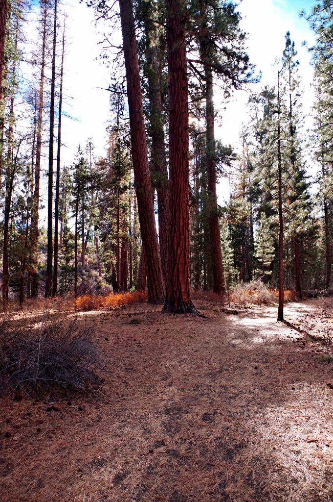
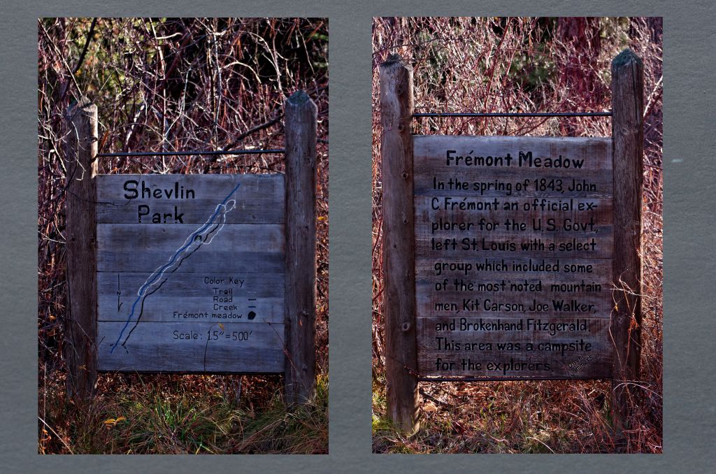
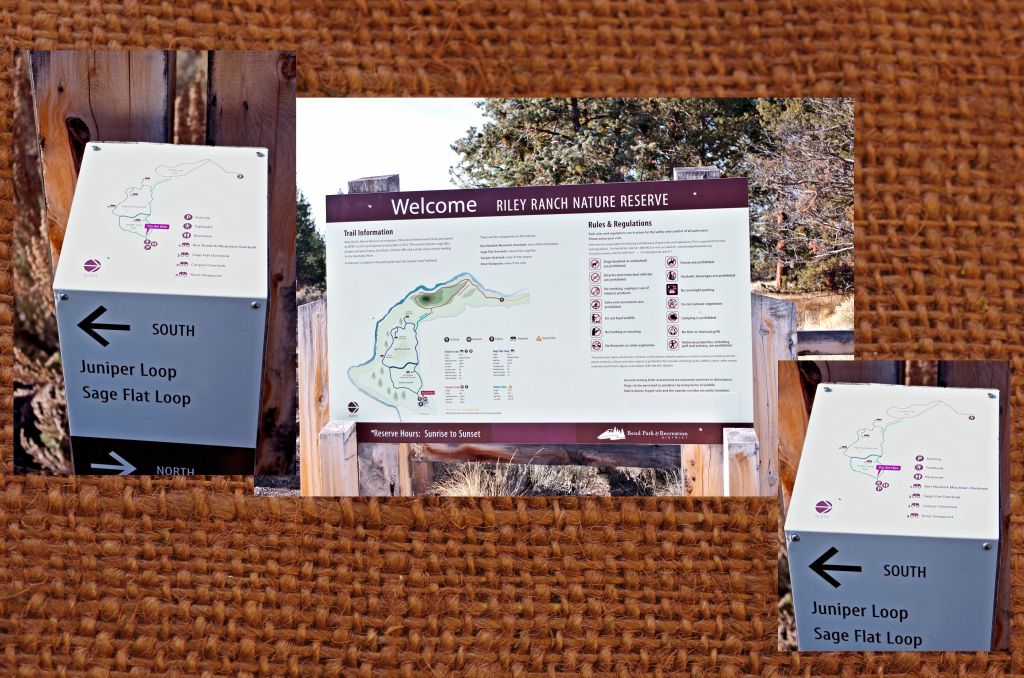
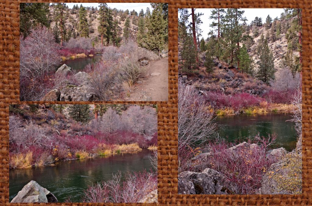
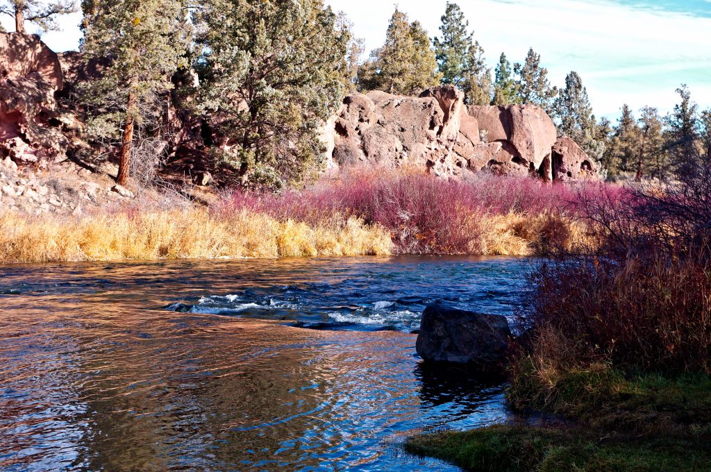
Monday it was Reilly Ranch Preserve.
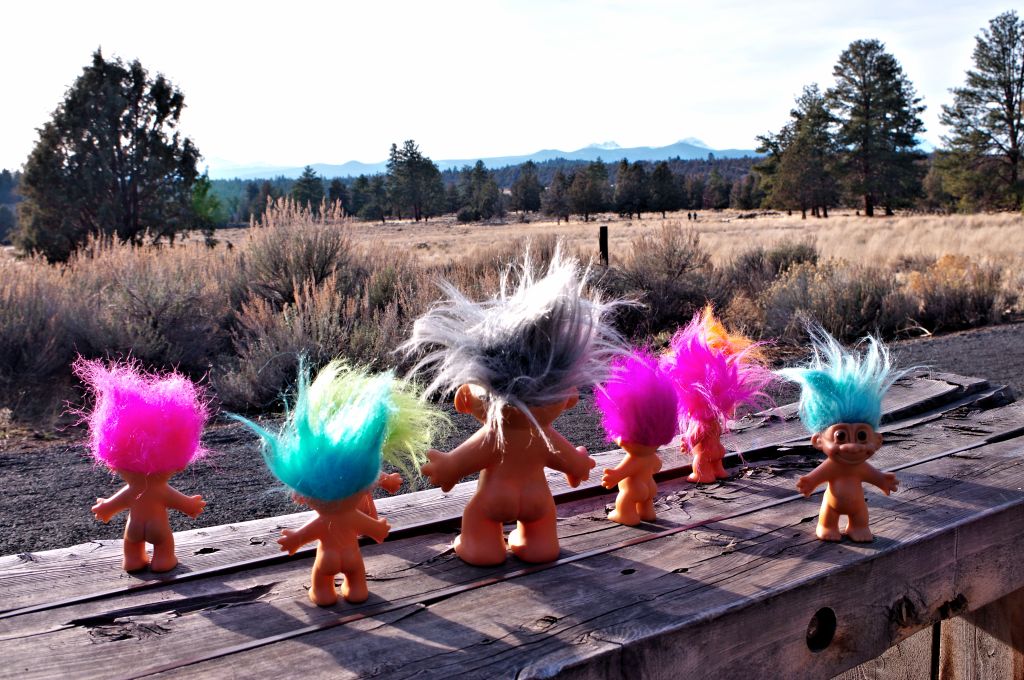
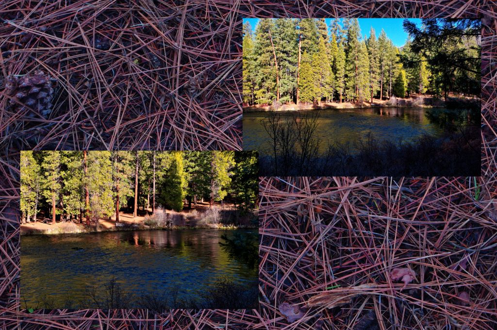
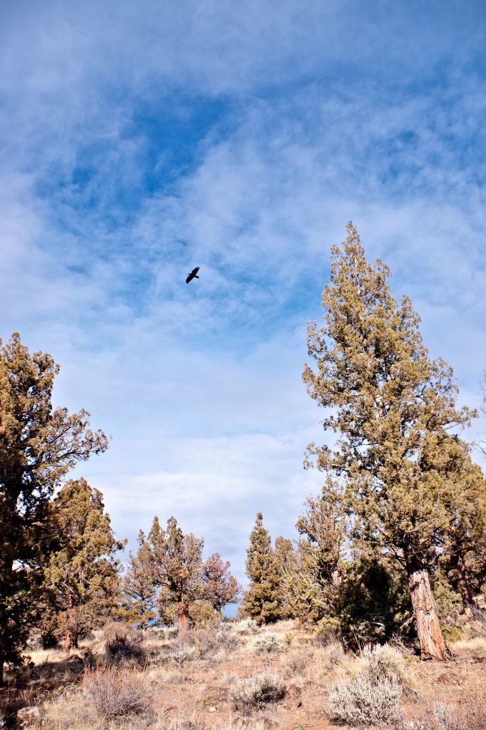
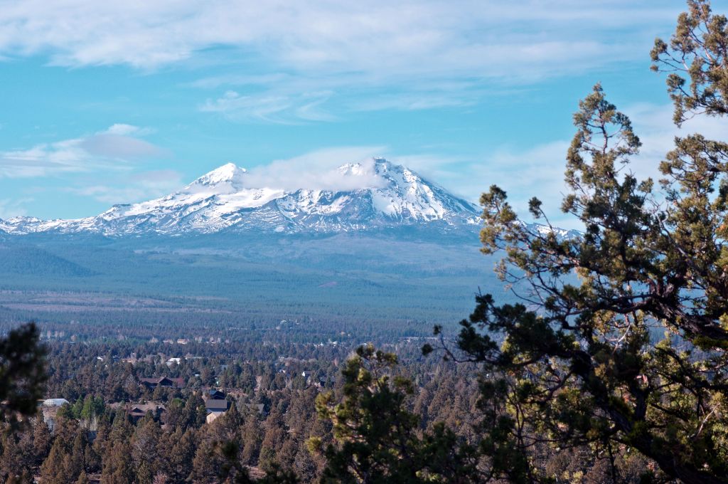
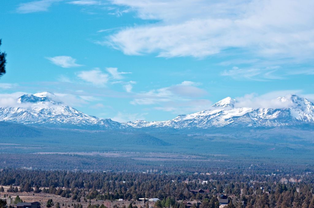
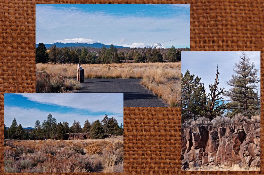
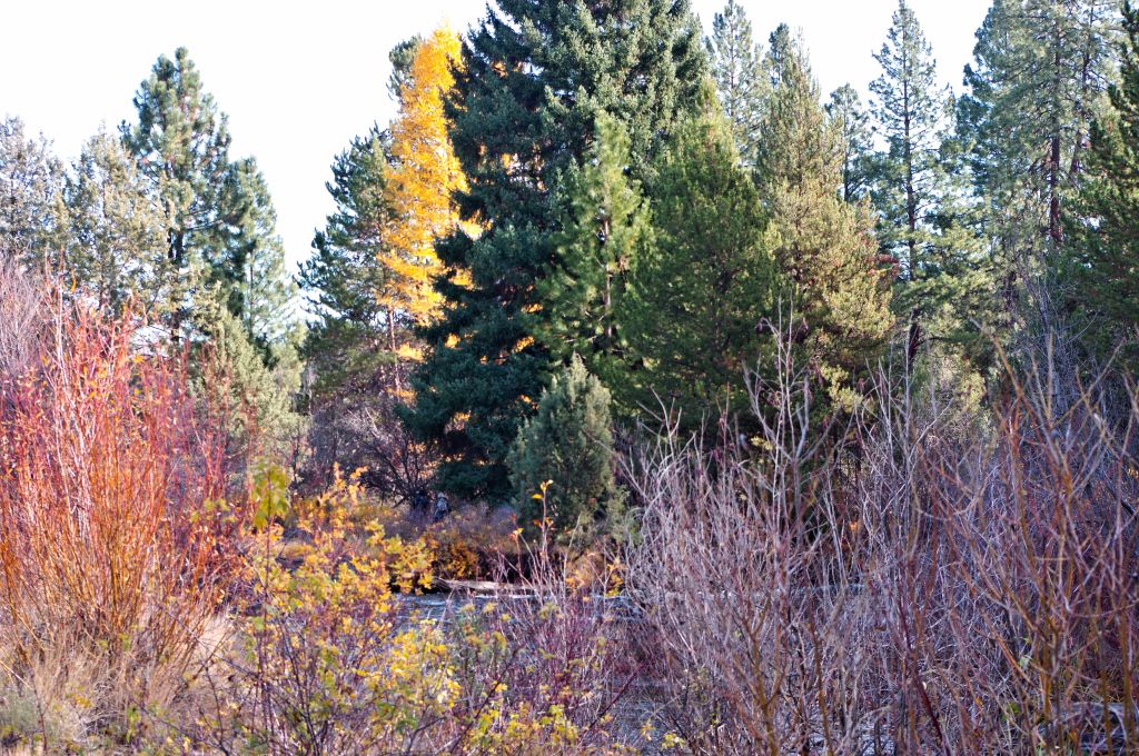
They enjoyed the views towards the mountains over the meadow.
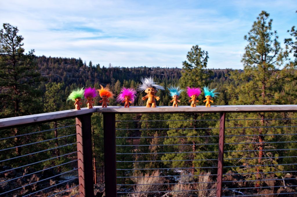
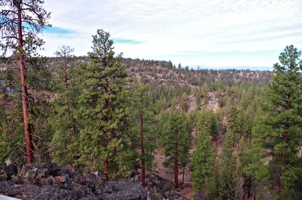
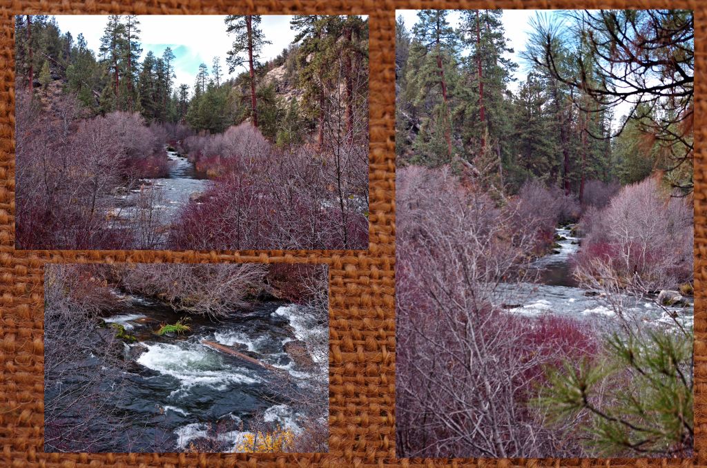
The different views from the overlook.

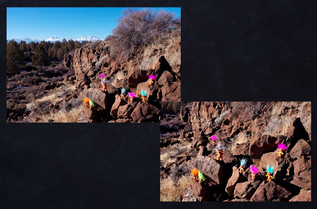
and the lizards wanted to see the views too

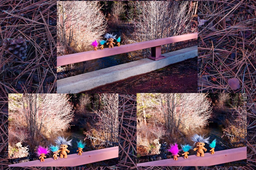
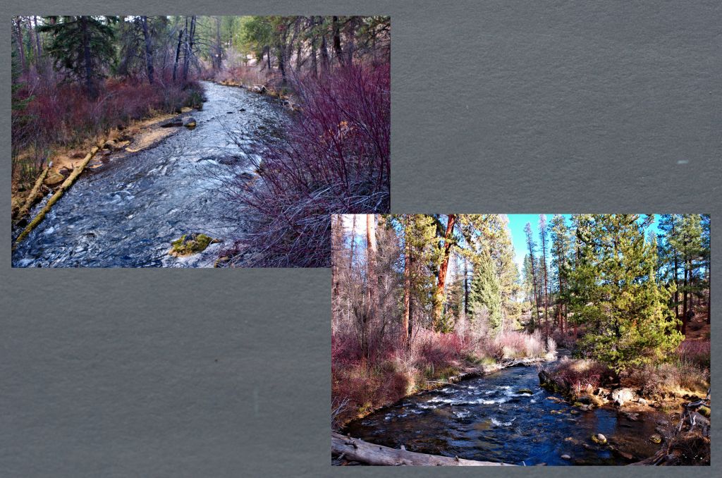
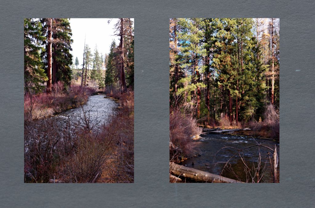
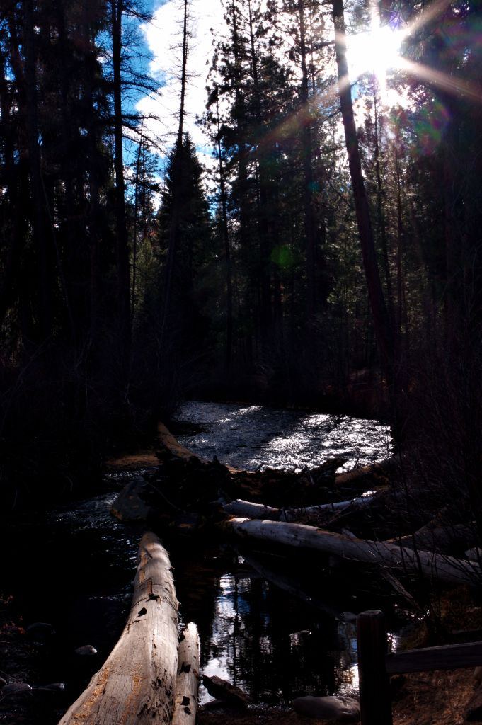
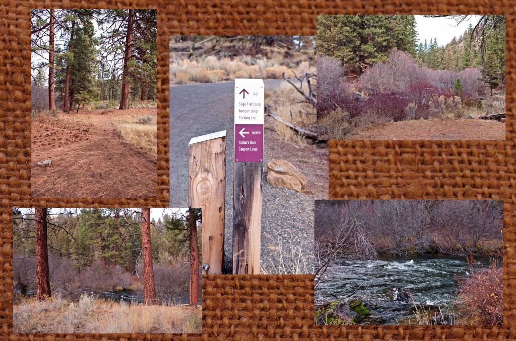
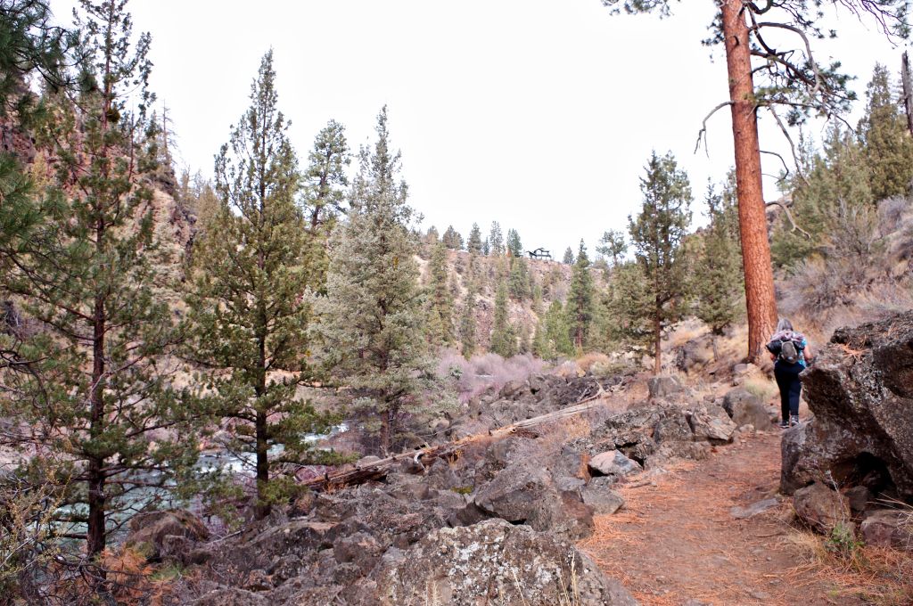
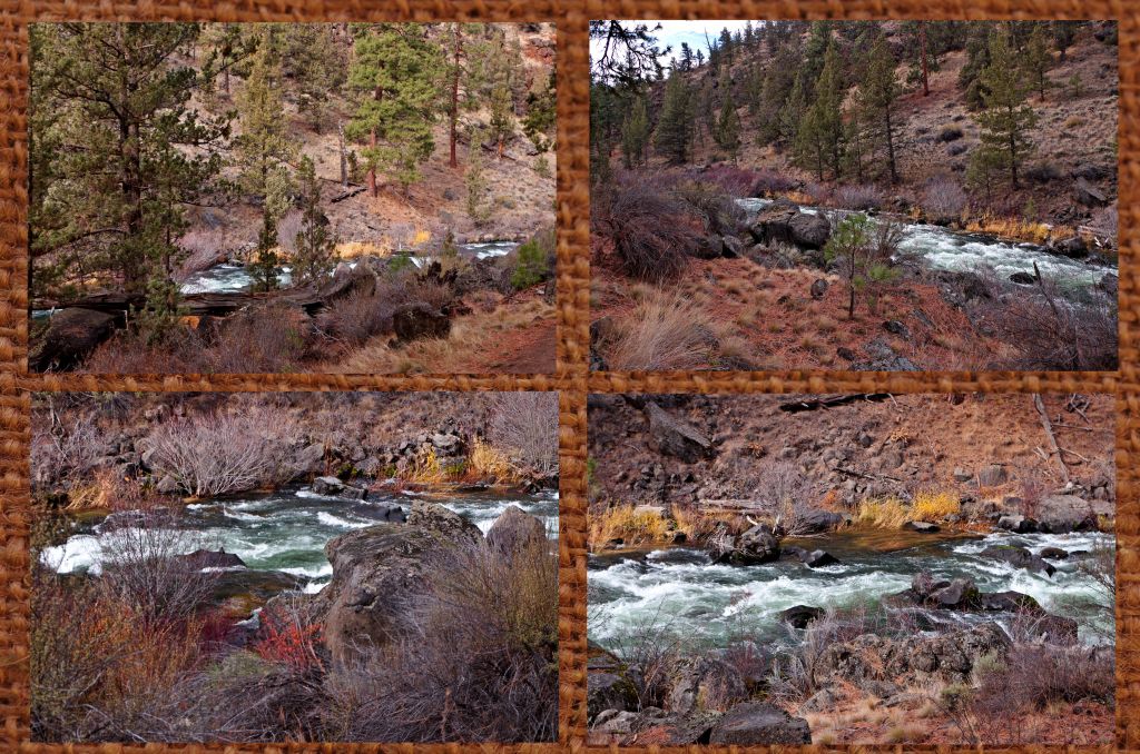
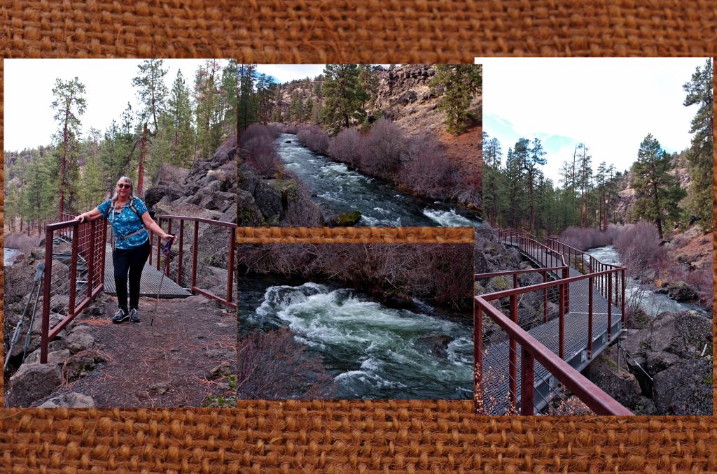
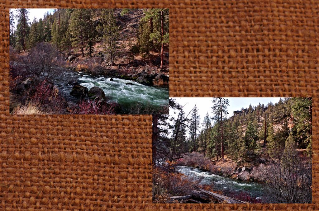
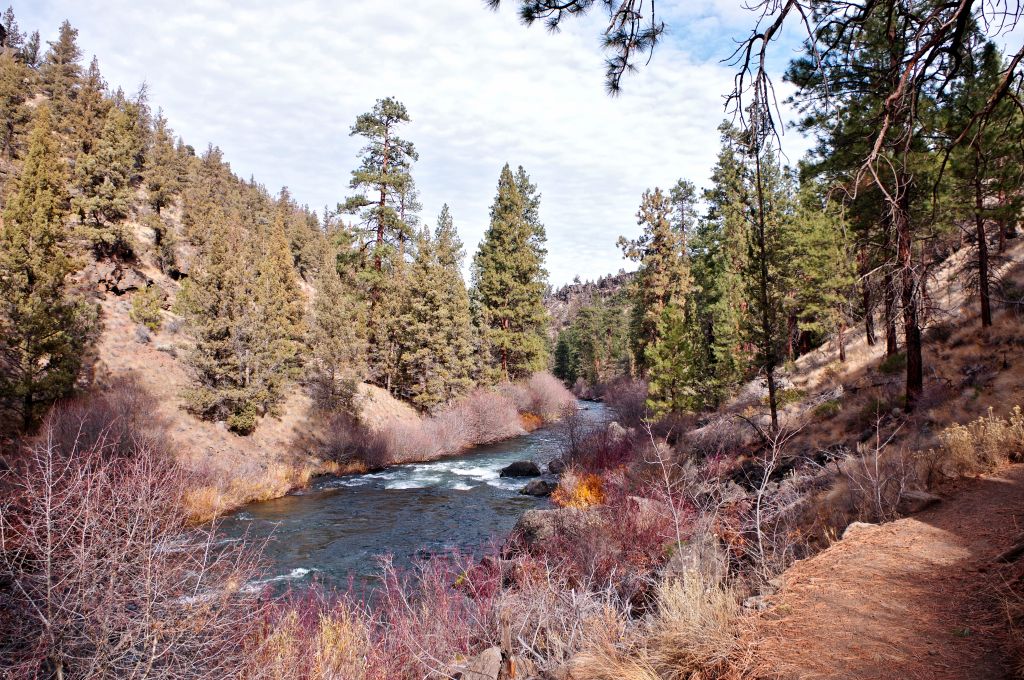
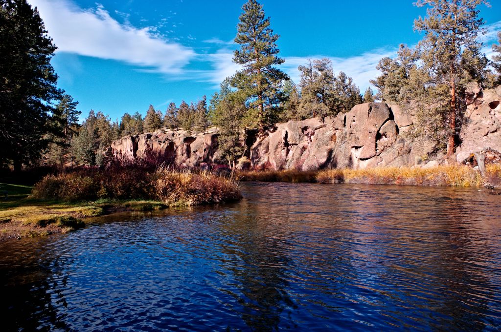
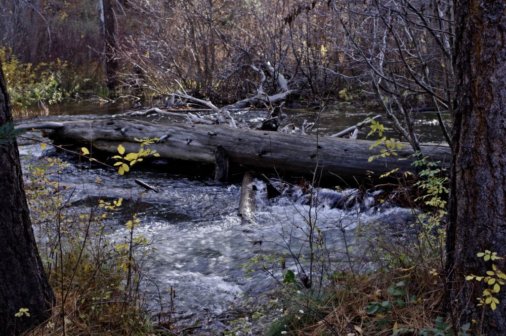
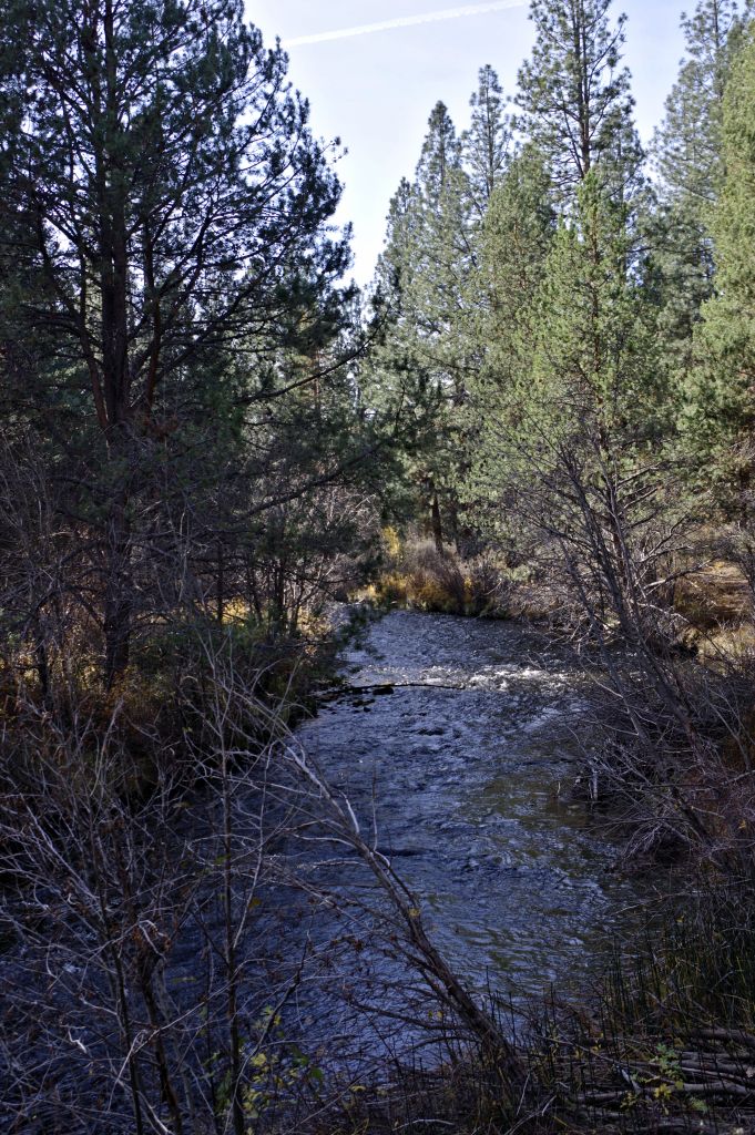
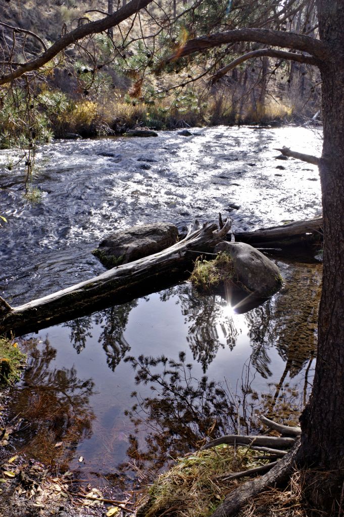
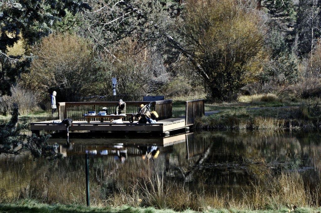
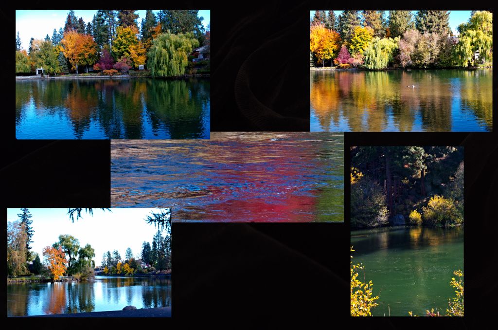
There were views of the Deschutes river below,

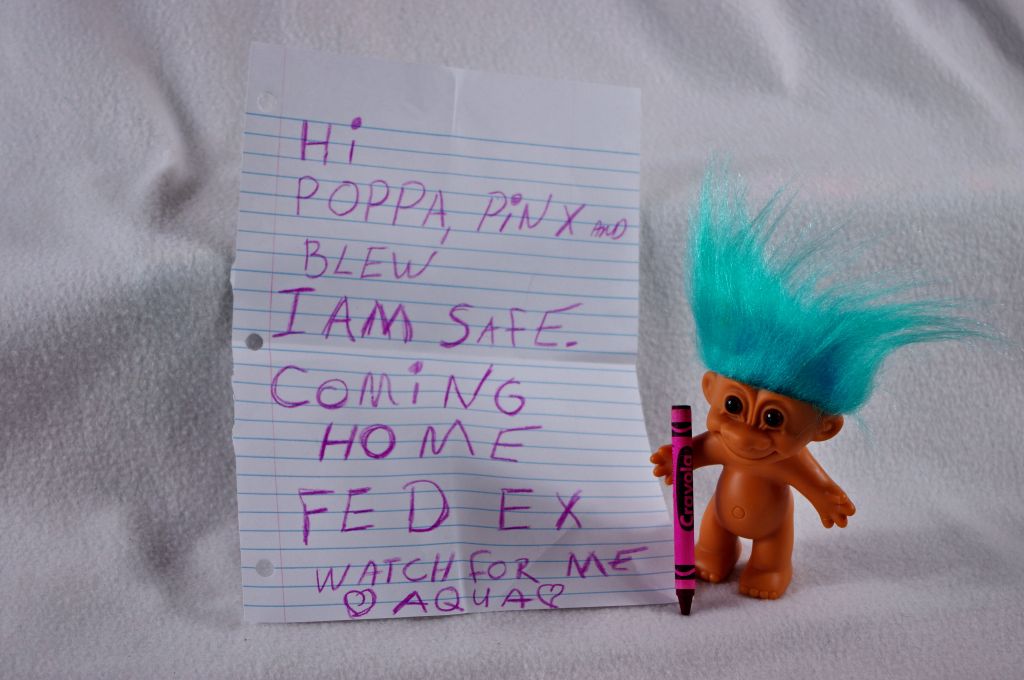
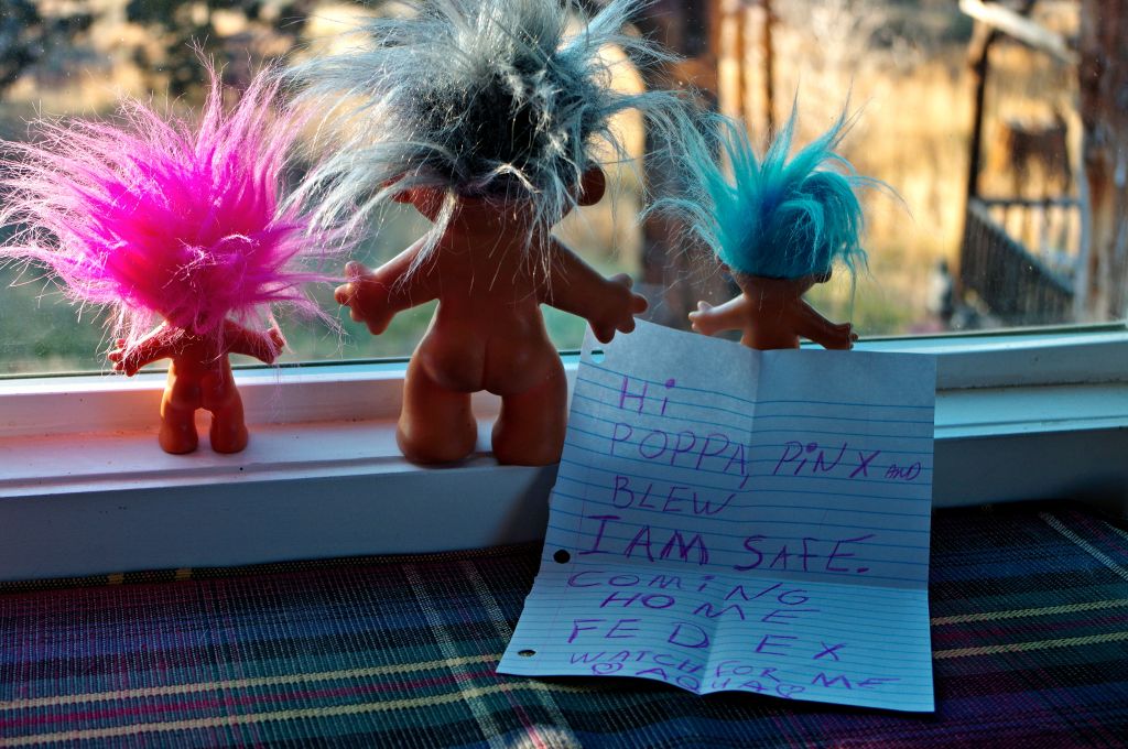
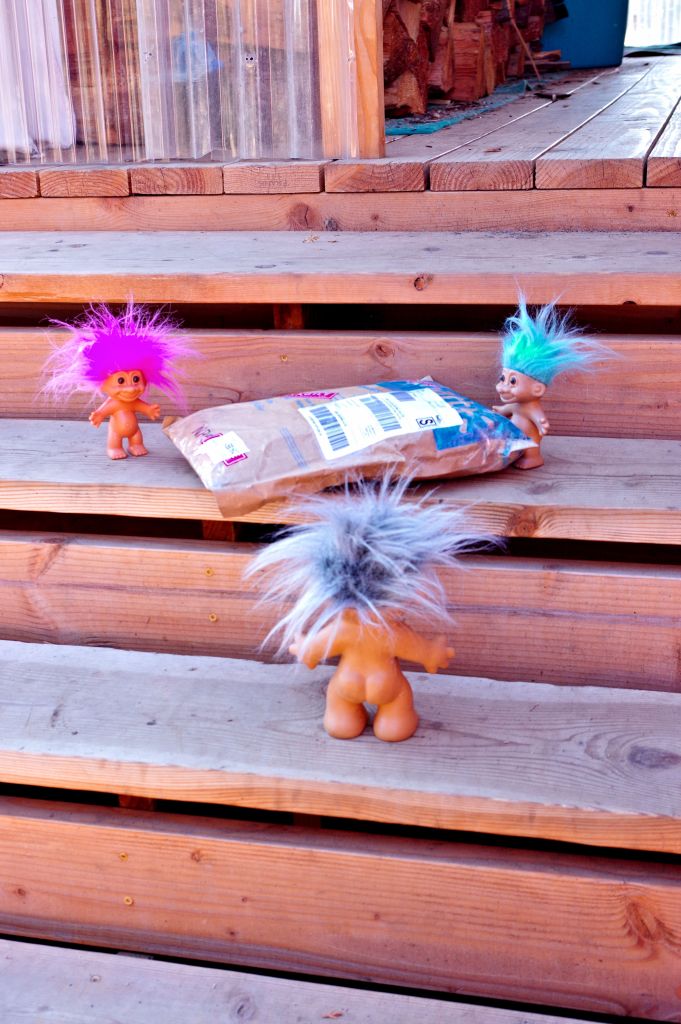
Pinky and Blew were assigned to make sure Aqua didn’t decide to go swimming again.
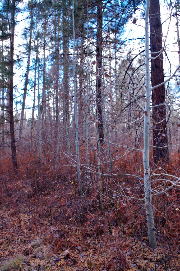
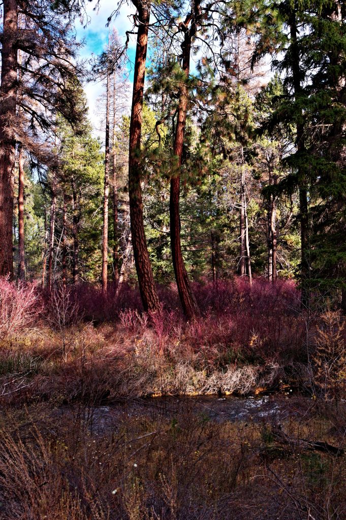
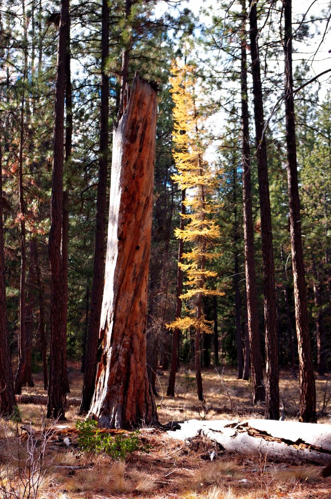
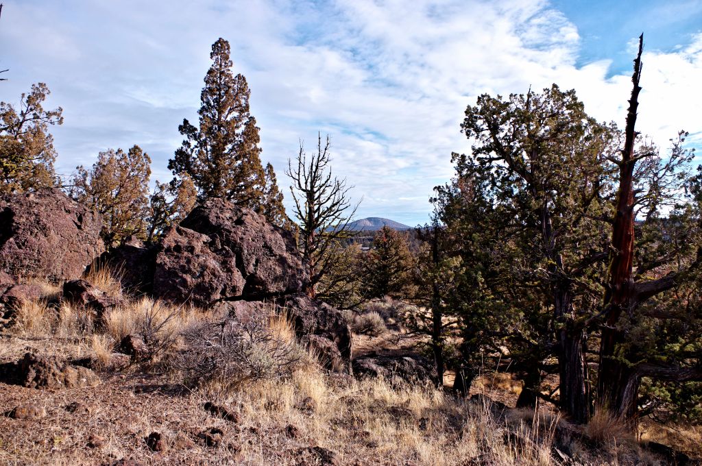
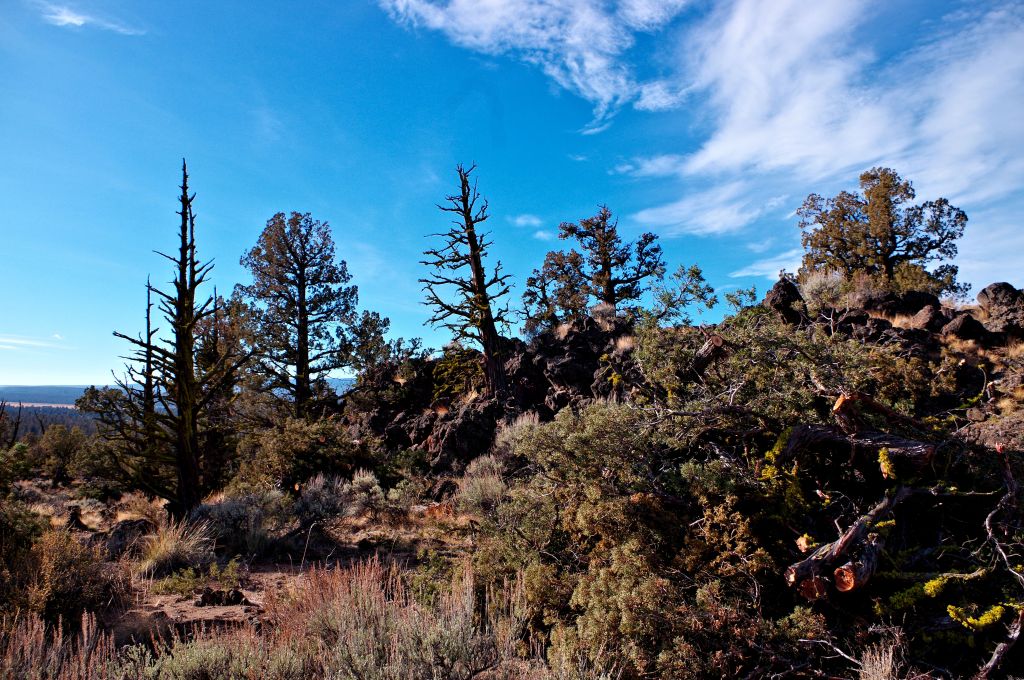
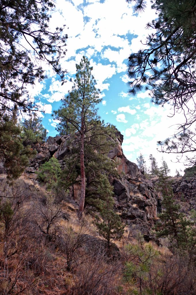
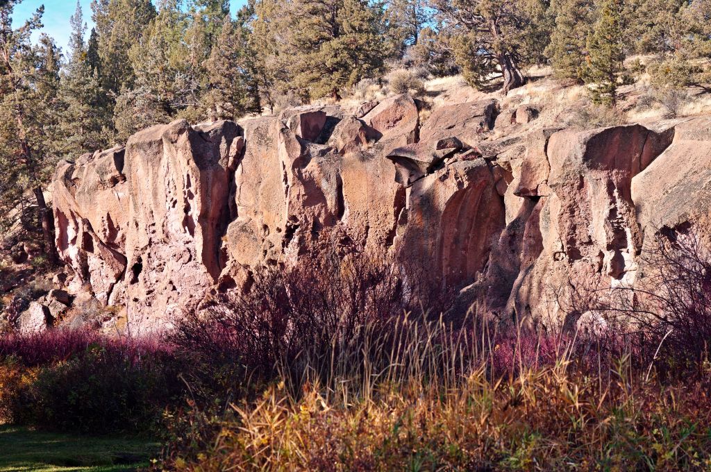
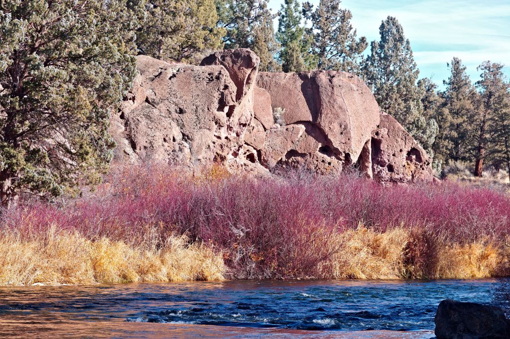
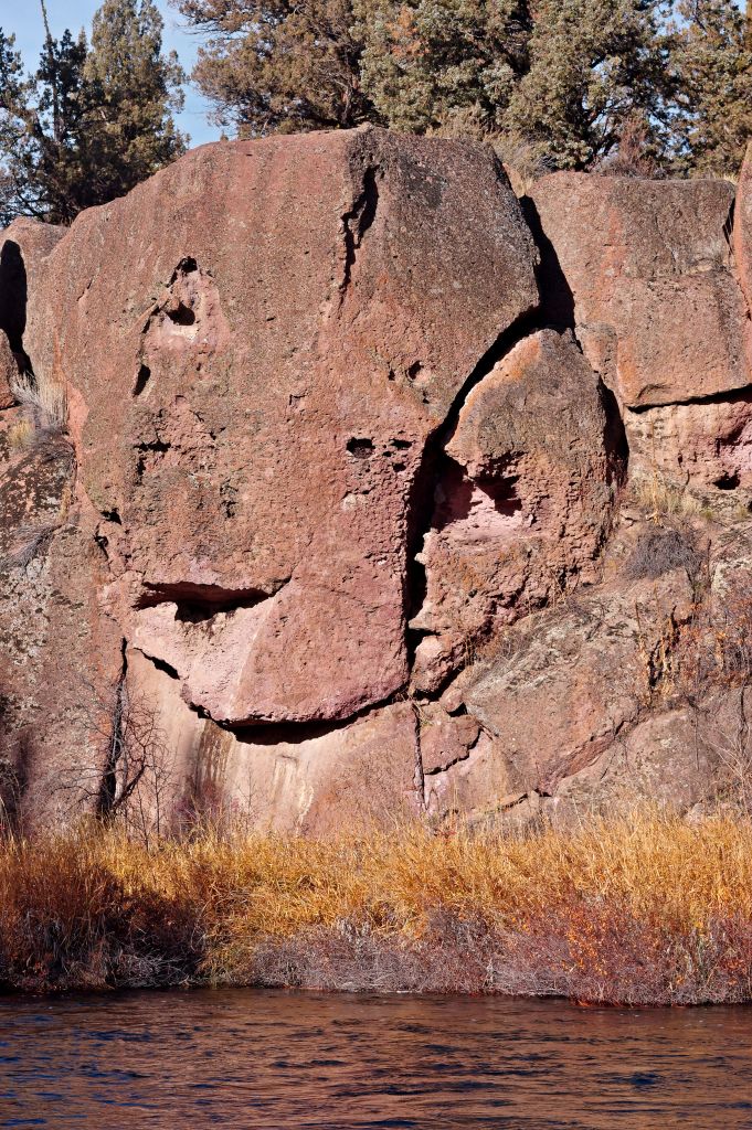
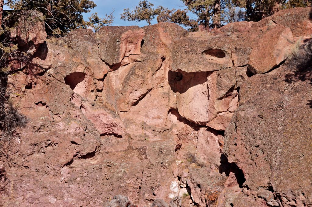
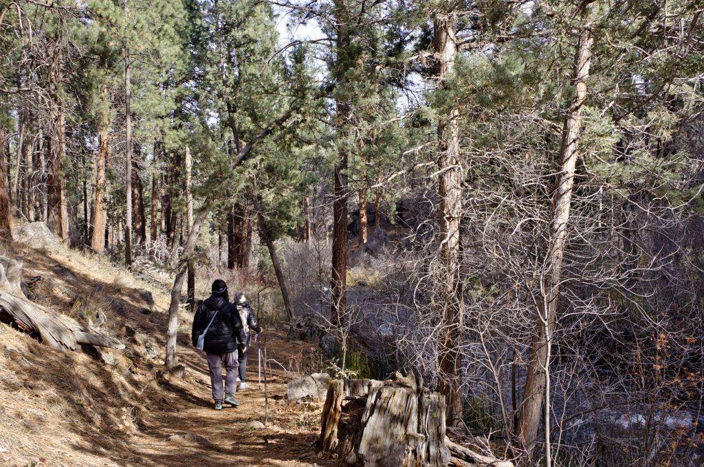
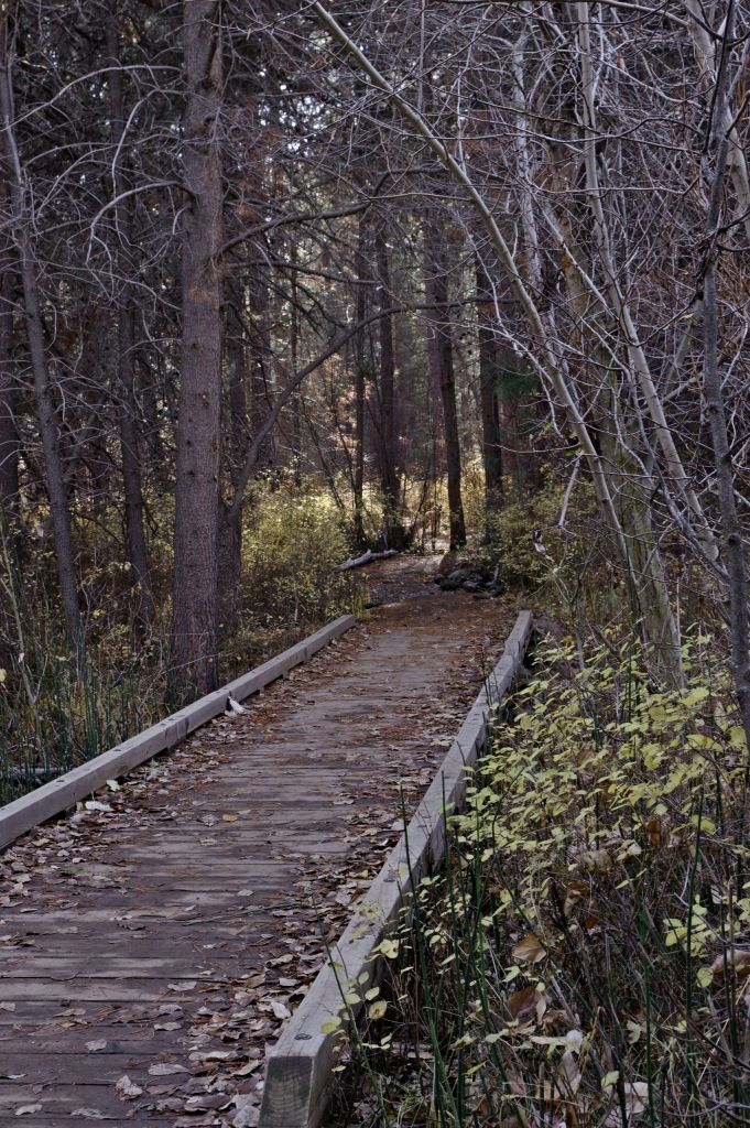
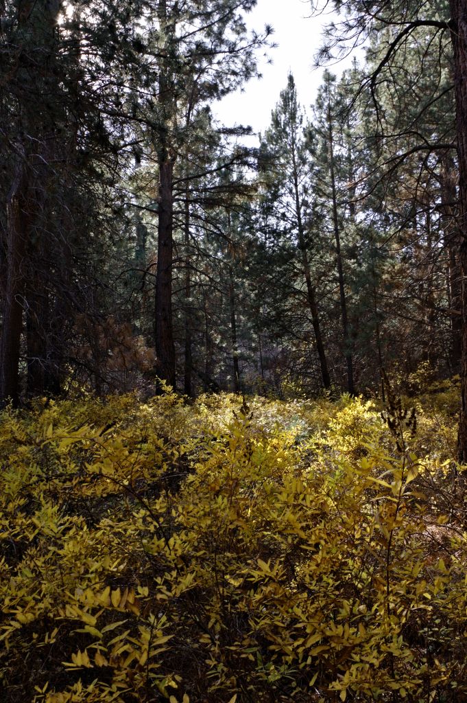
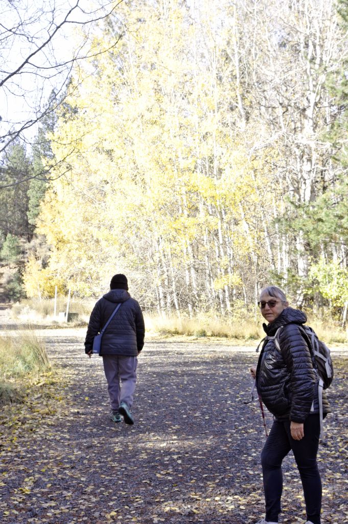
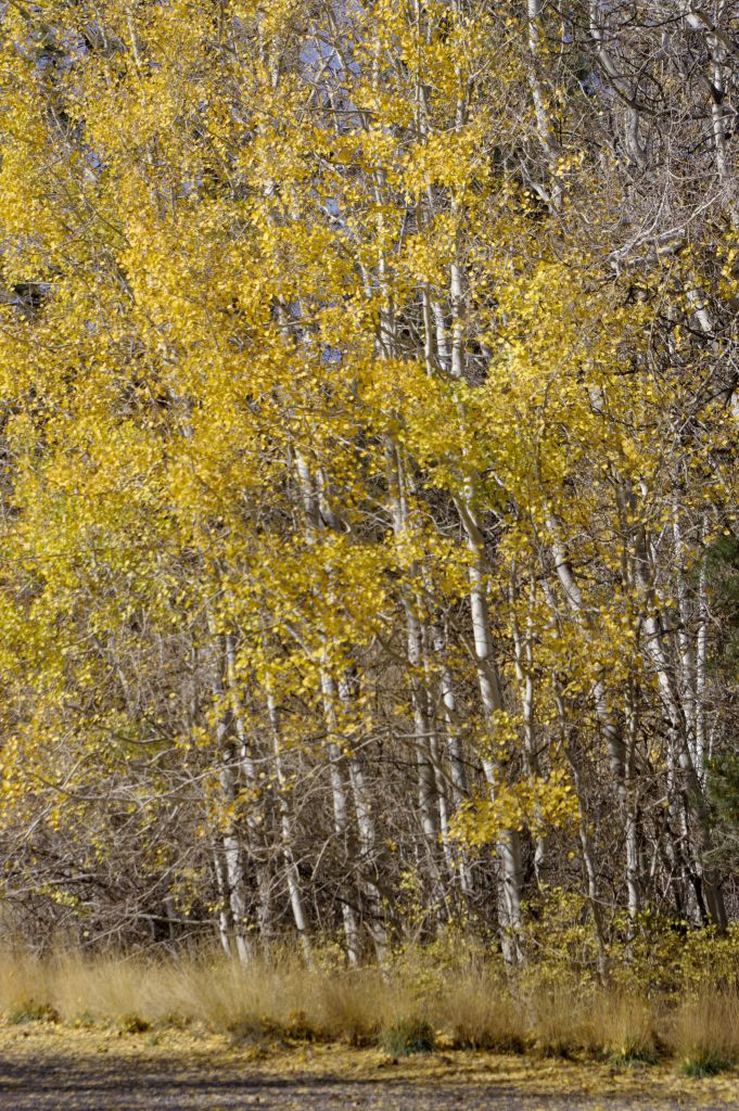
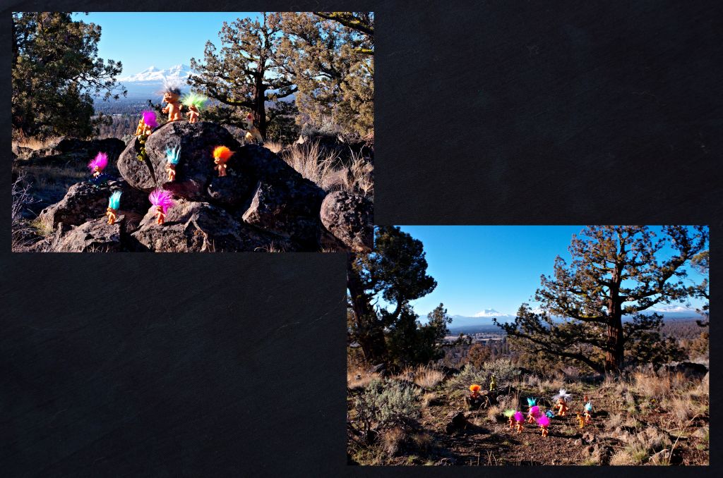
After their tour of Reily Ranch they decided to explore the area closer to home. So Tuesday it was Sage Ranch Canyon and Butte. they decided to warm up with a little rock climbing in the parking area.

Soon we were on our way down into the canyon a bit so we could do some more rock climbing up
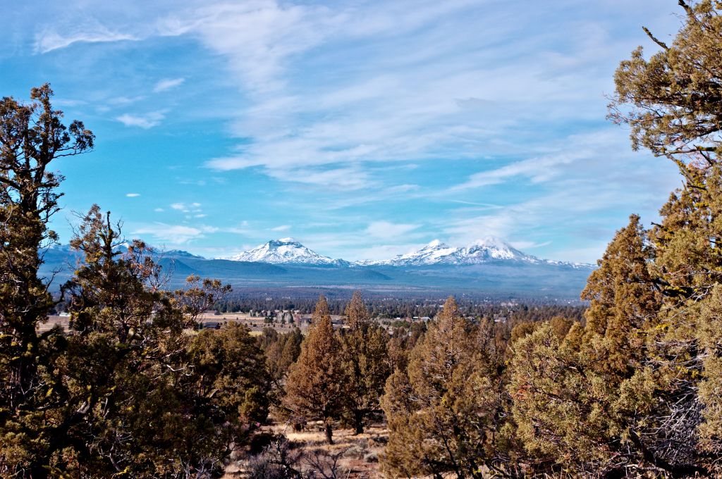
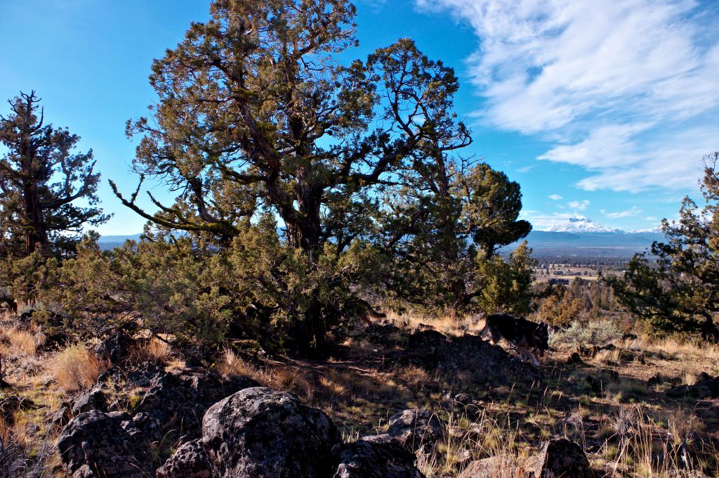
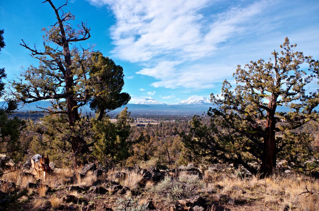
Poppa T chose this route because he likes the view of the mountains as they climb the rocks to the top of the canyon. Because this area has coyotes, he also hired a couple of guards…
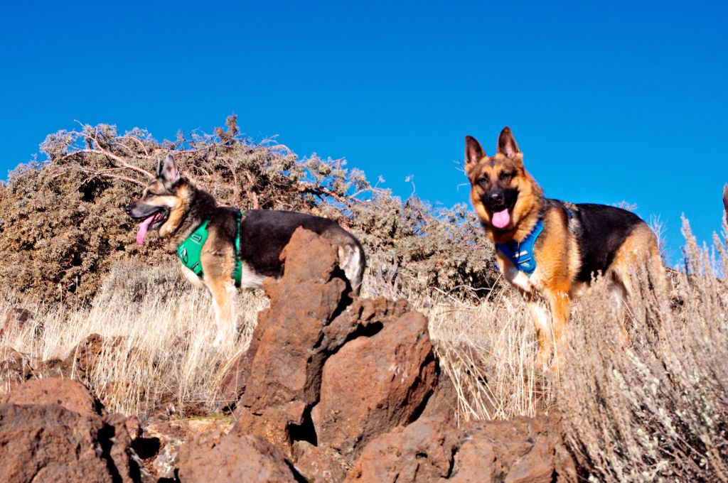
Well truth is that Nova and Aurora insisted that we were not going hiking without them.
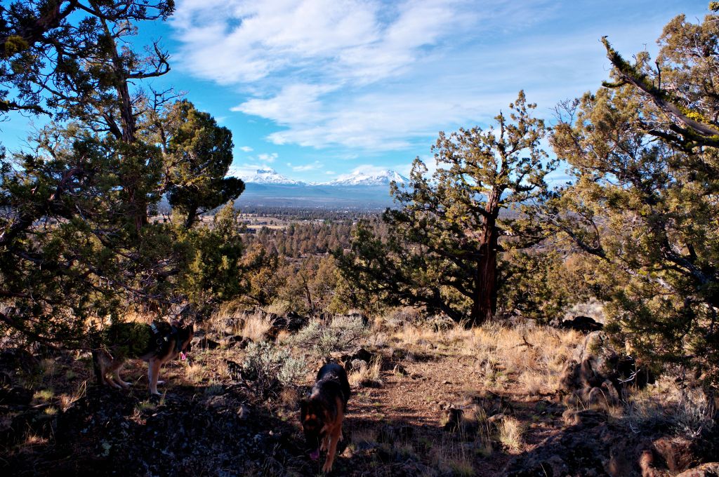
After we got to the top of the canyon we headed south up to the top of Sage Ranch Butte.
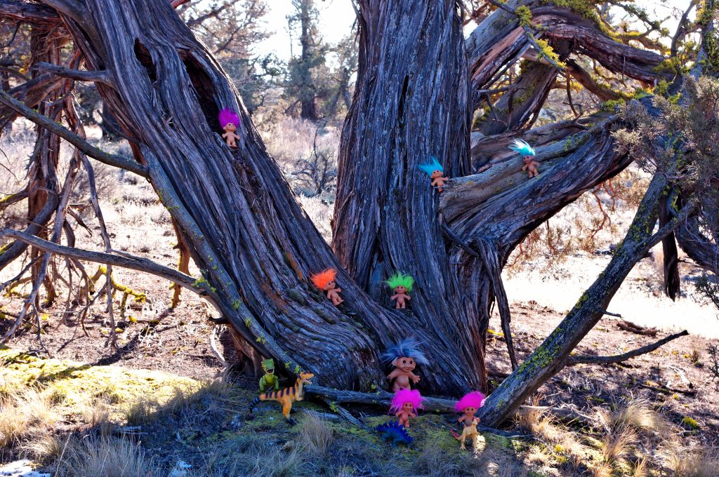
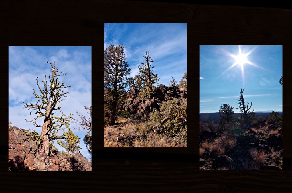
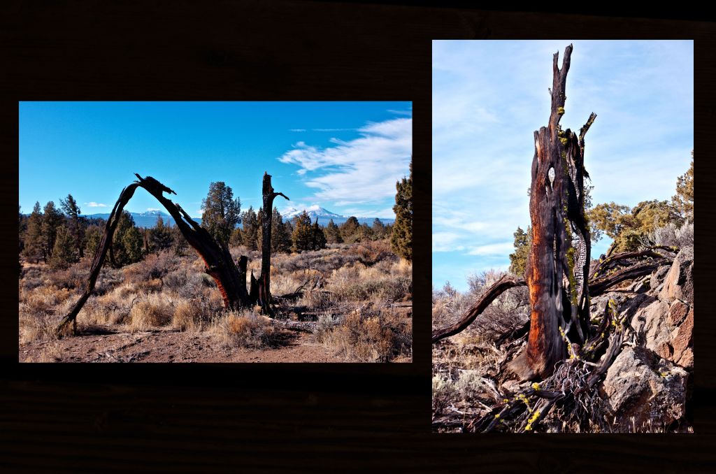
There were a lot of trees to climb, and every snarly snag had to be checked out, soon though we were at the top of the butte.
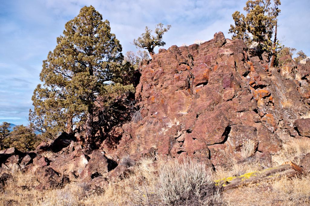
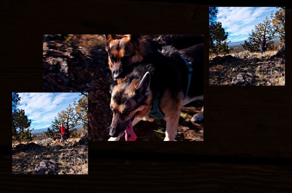
After they climbed some rocks and checked out the flat areas it was time to head home. We chose the path that took us down the easy slope and overlooked the canyon wall we climbed up earlier.

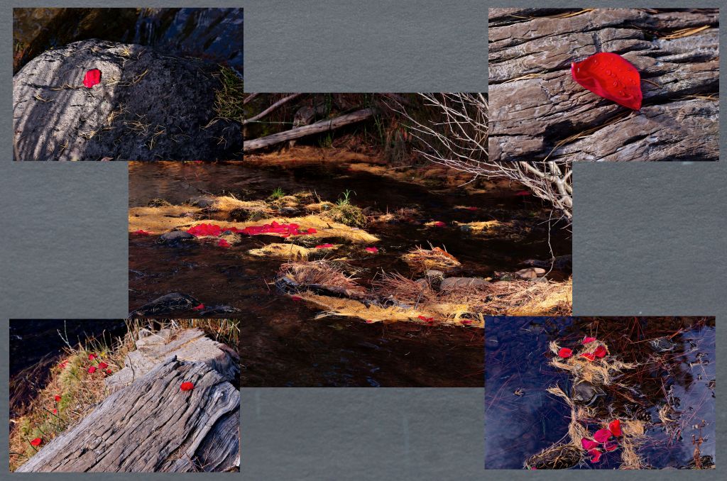
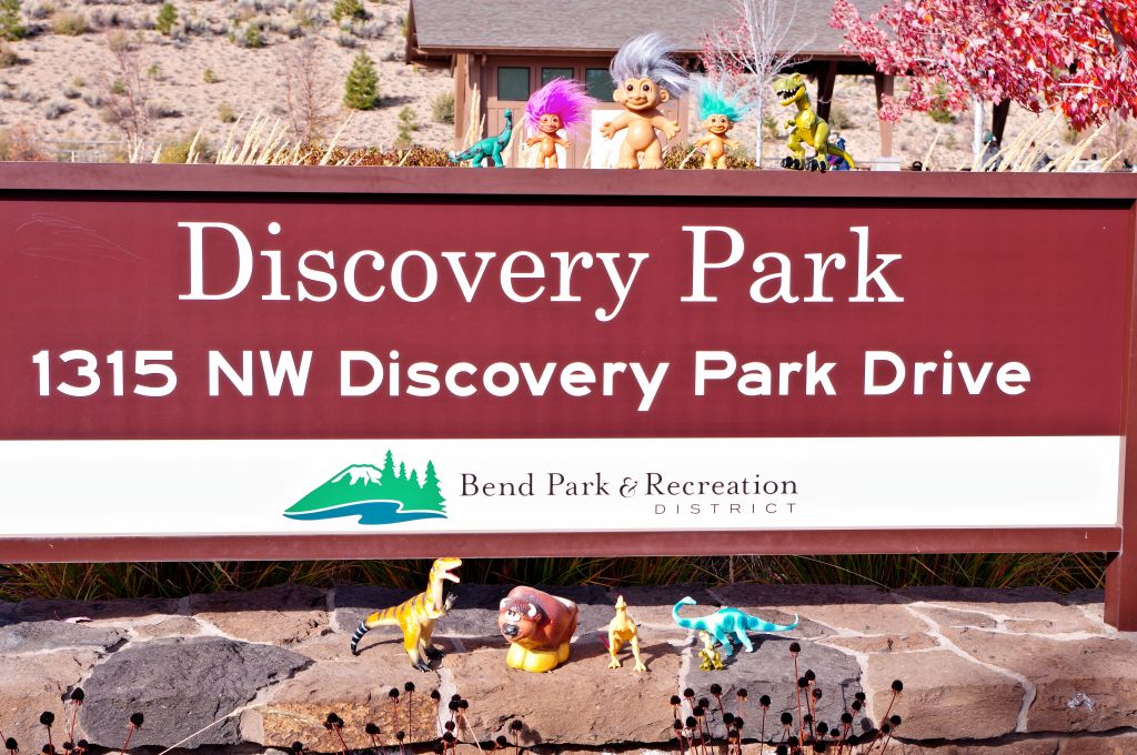
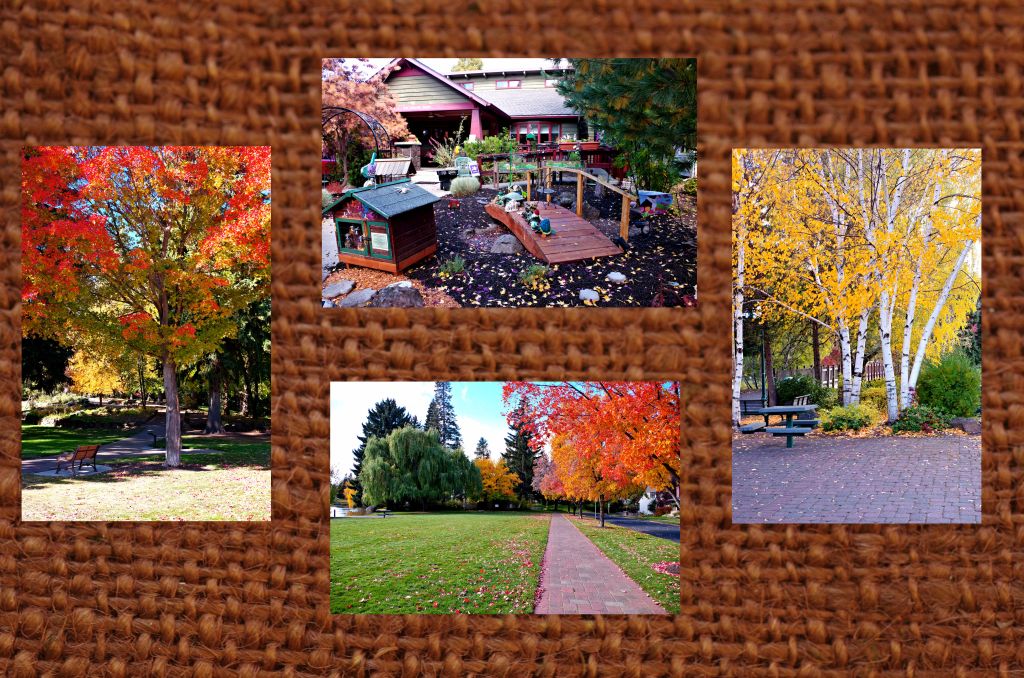
For today Wednesday, Poppa T wanted to go to the mountains…. Yeah Right…. I simply explained that I had other plans and was going to the pool…. They thought that would be a good trip, but I said that they didn’t have swim passes and couldn’t go… Plus we had to clean up the photo area so we could start the new year with a fresh blank slate…..
So Good Bye 20….
Hey wait What are you all doing???

What do you mean we are not done photographing???

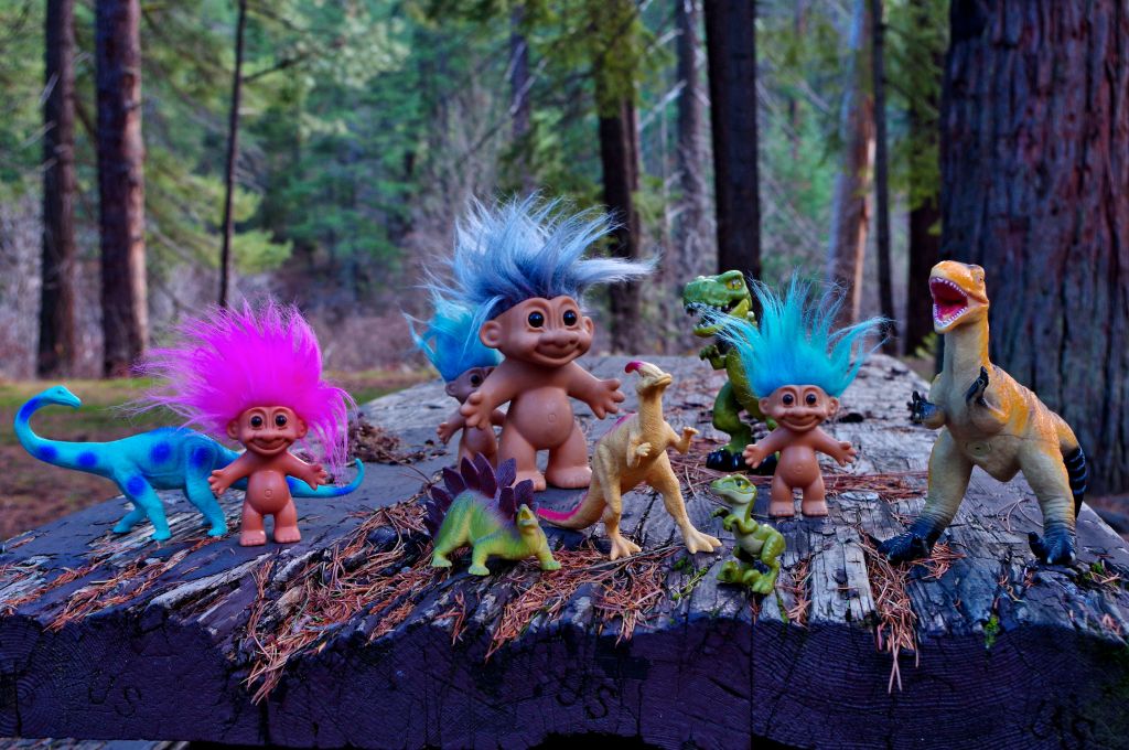
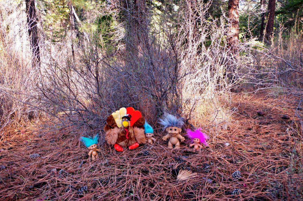
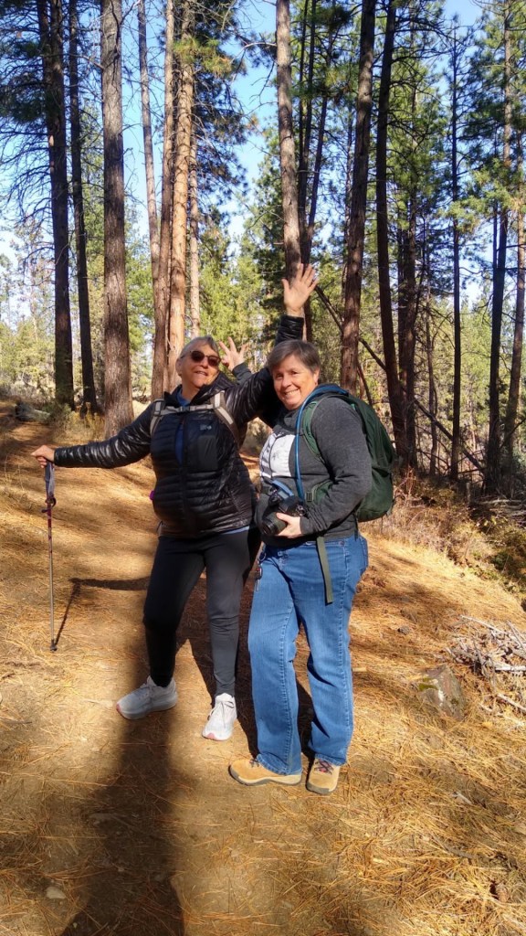
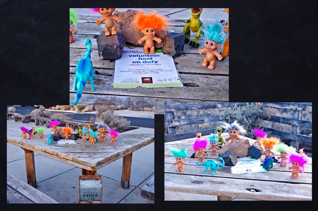
All right one last portrait session for 2025
Good by 2025…. Time to make photo plans for 2026