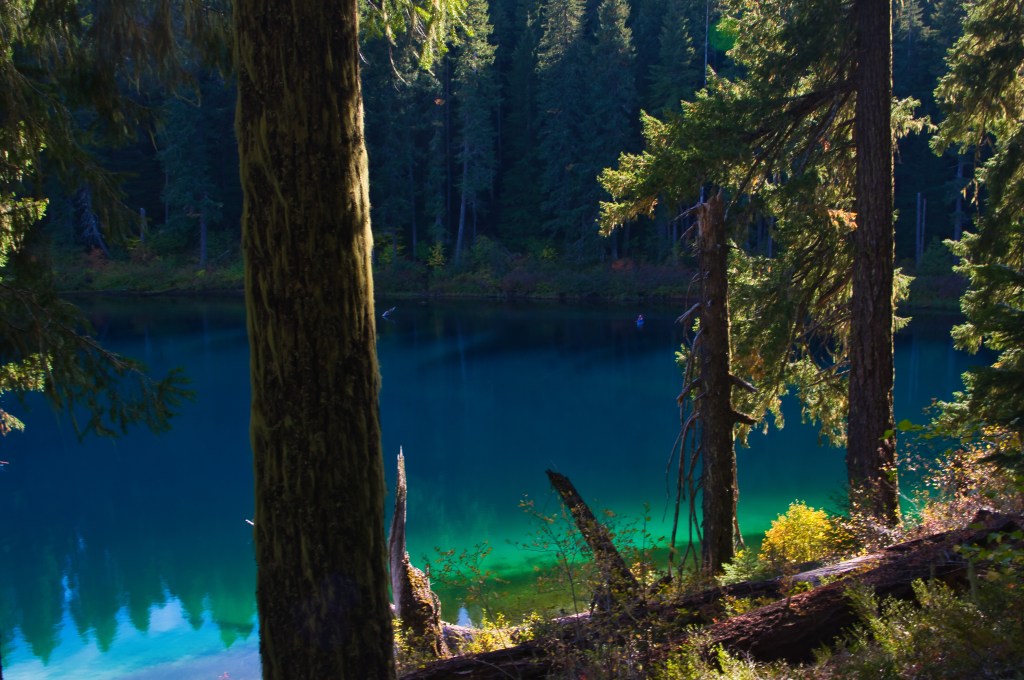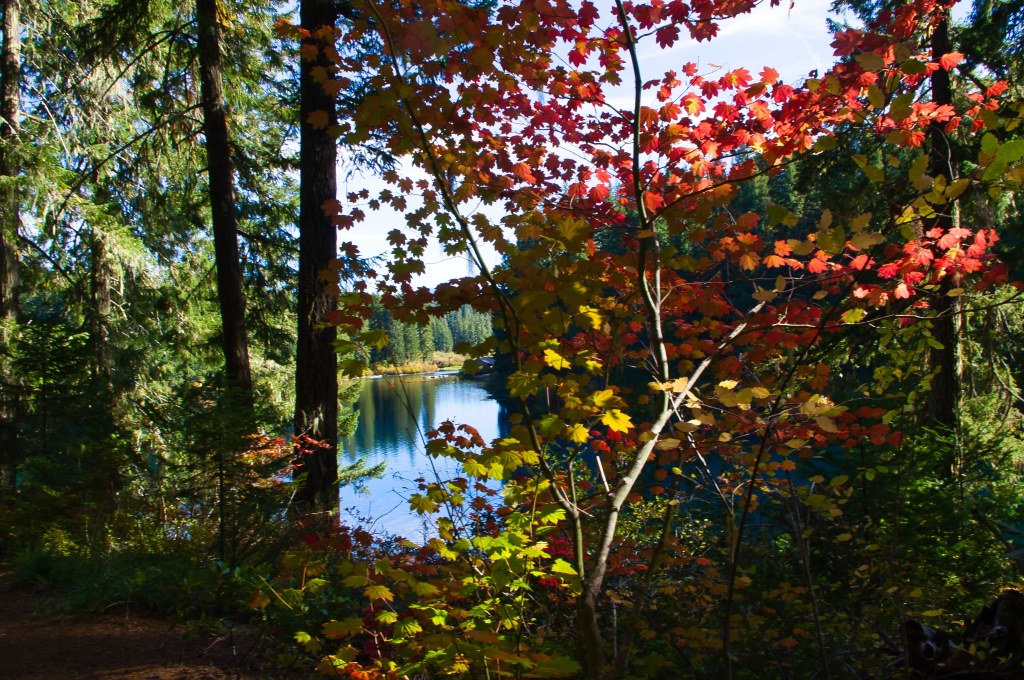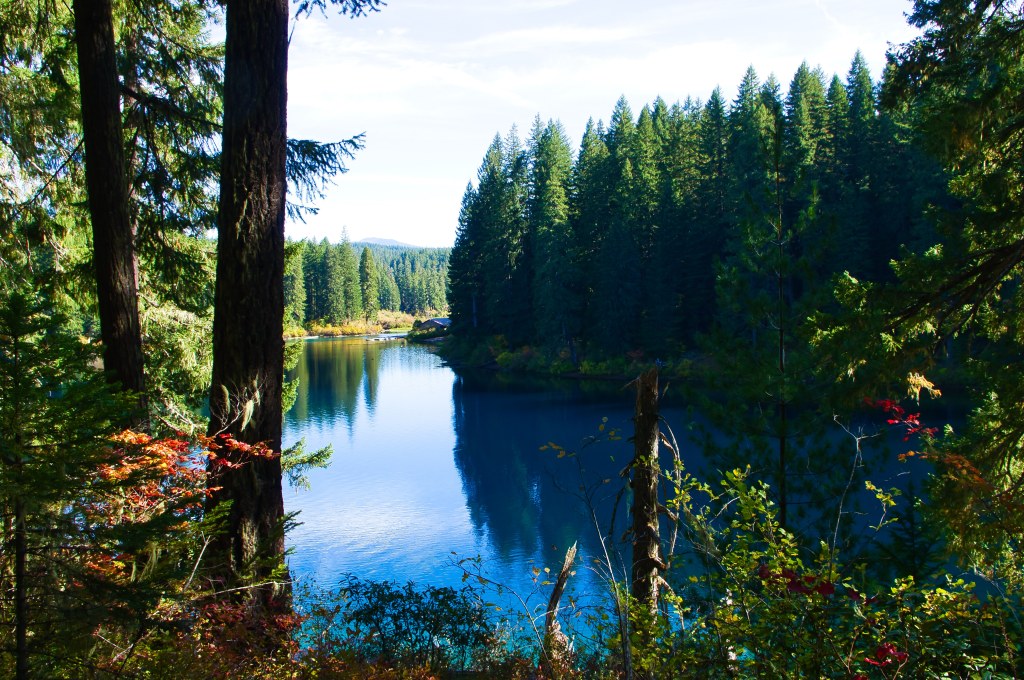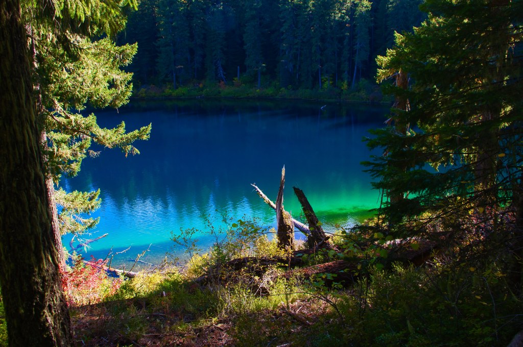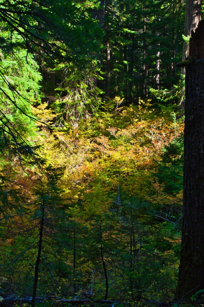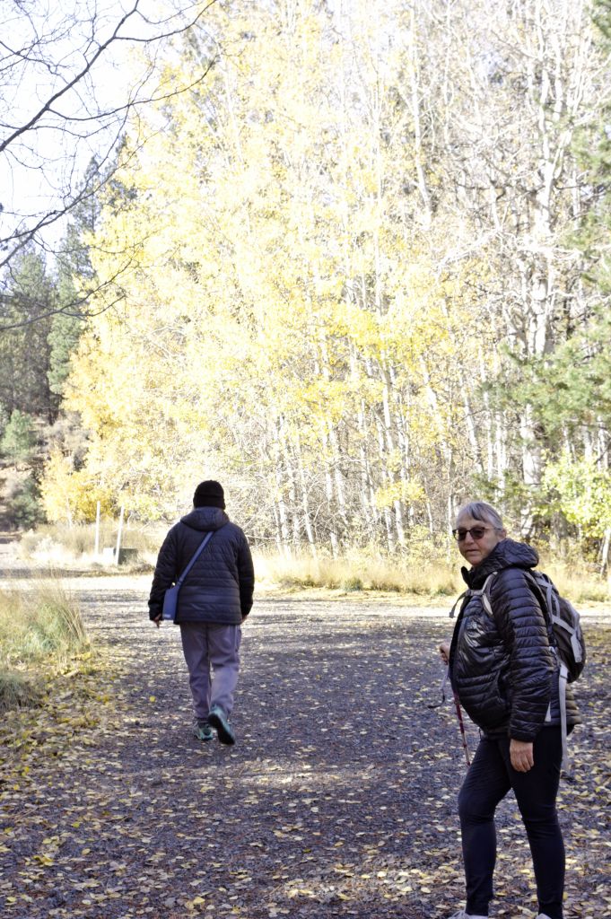
Hiking to Clear Lake with a Friend.

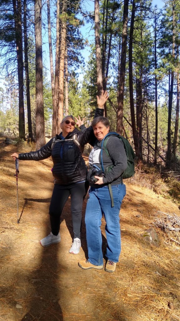
My friend Robin and I decided to hike to Clear Lake, for the Colors…… We decided last year… but things didn’t work out. This year we decided to try it again. Schedules worked out for the two of us, the other two were not available. I had a vision in my mind of a photograph I had taken in 2016 and then had printed into a notecard in 2018.
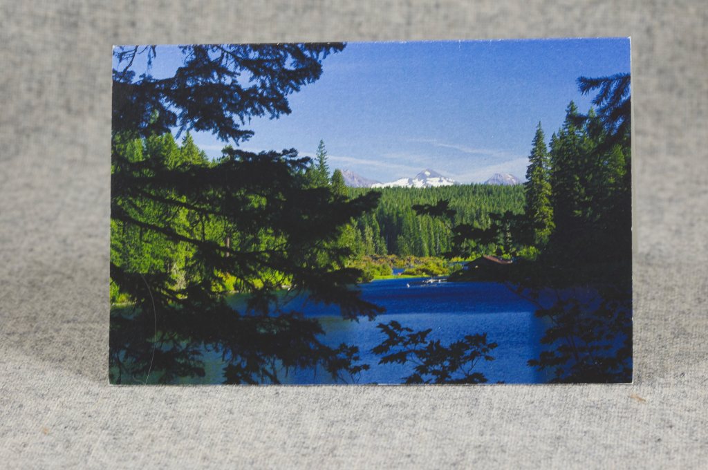
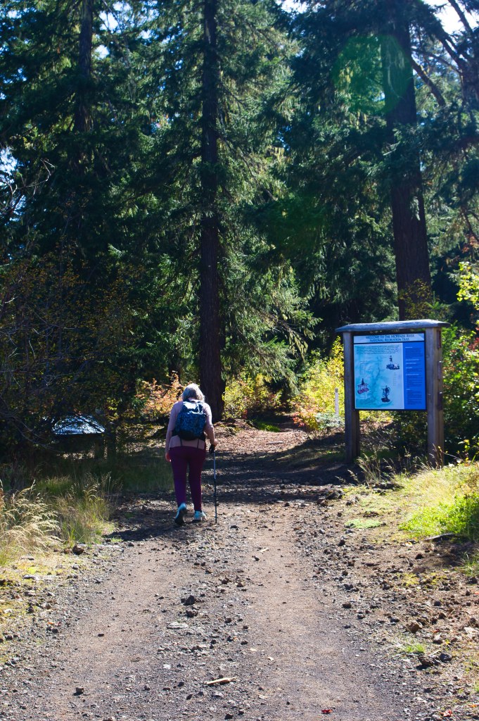
In order to get this photo we had to start at the old Santiam road trail and the McKenzie river trail.
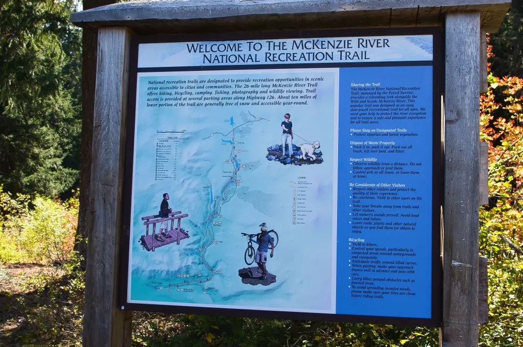
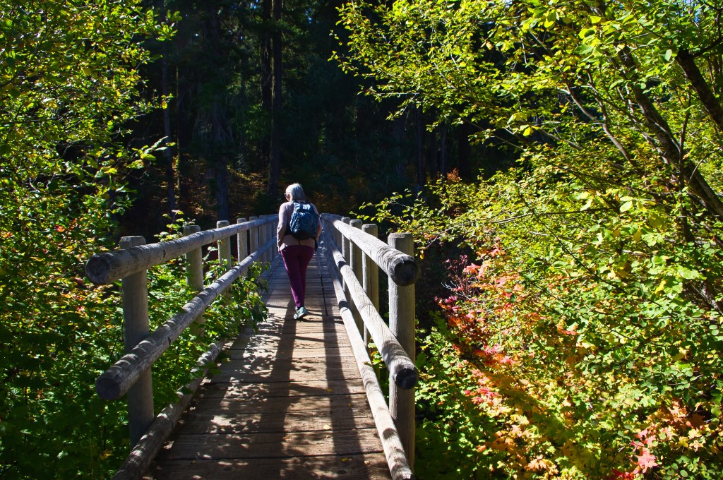
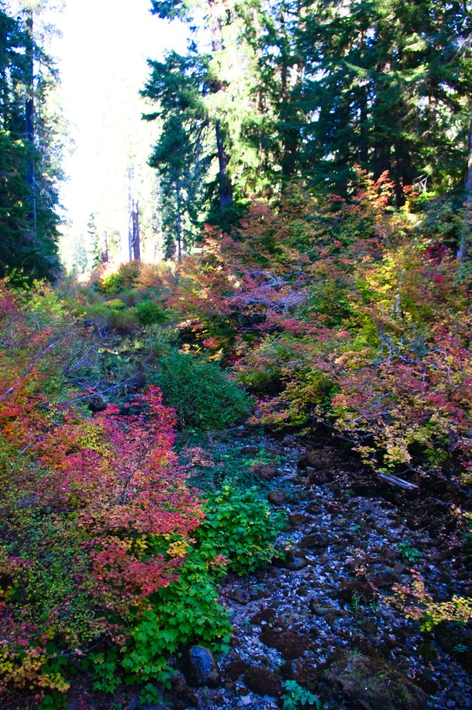
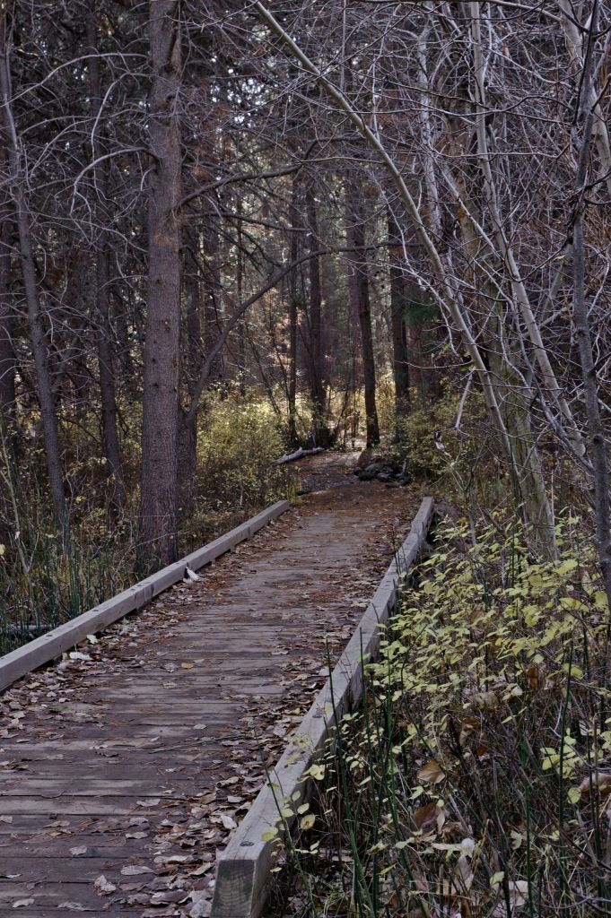
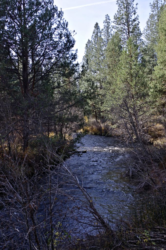
At the beginning of the trail we cross over Fish lake Creek which is actually dry most of the year, or the water runs below the surface of the creek.
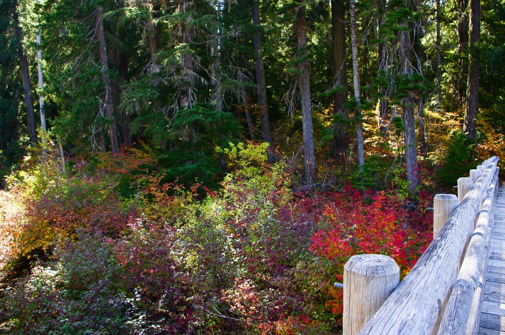

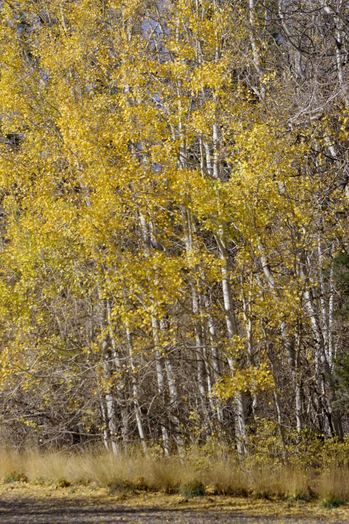
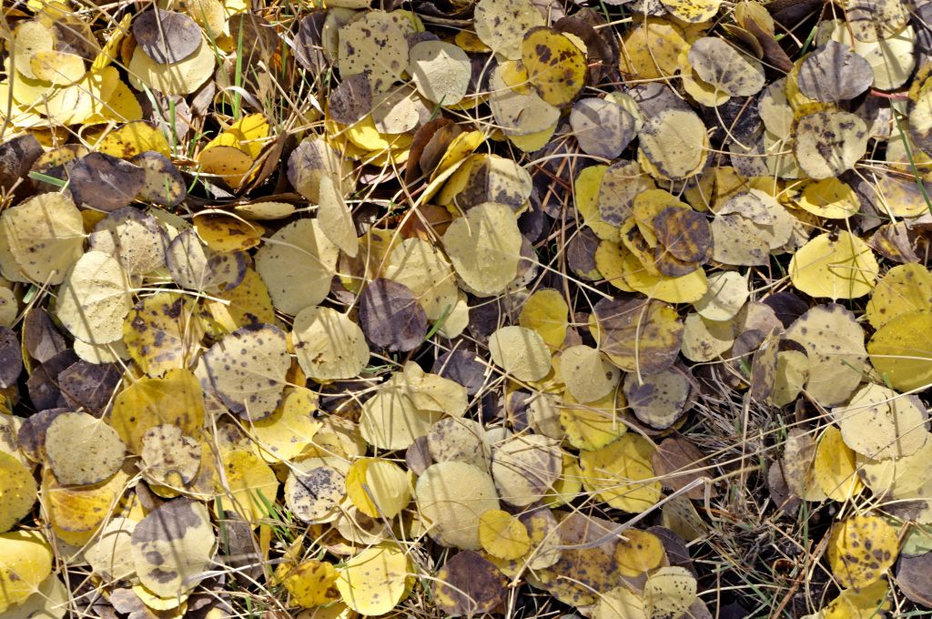
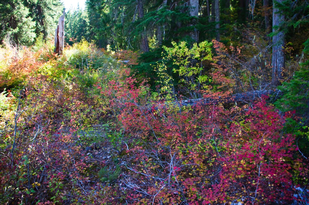
The color was fantastic as expected
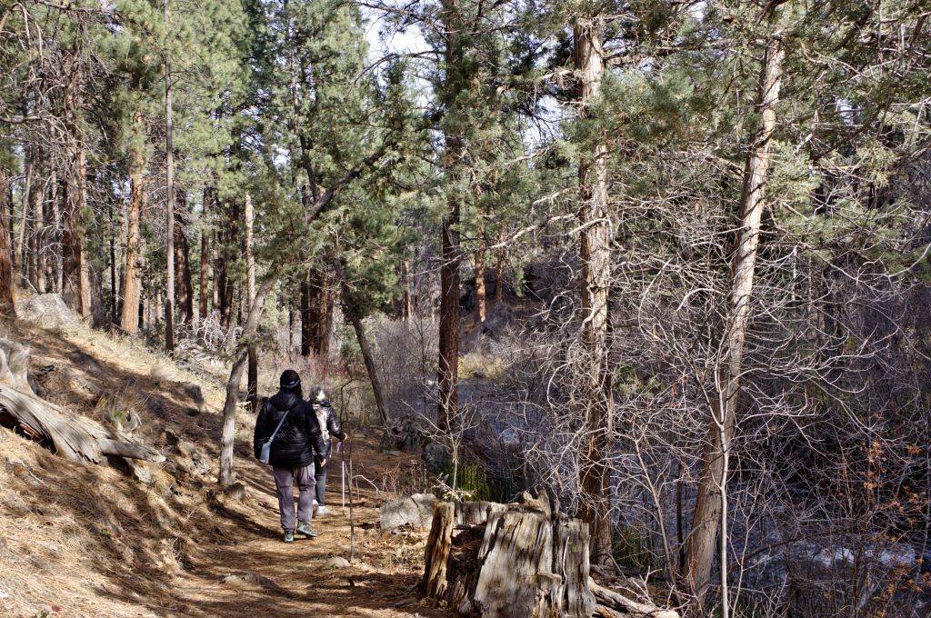
the trail is well maintained and wide
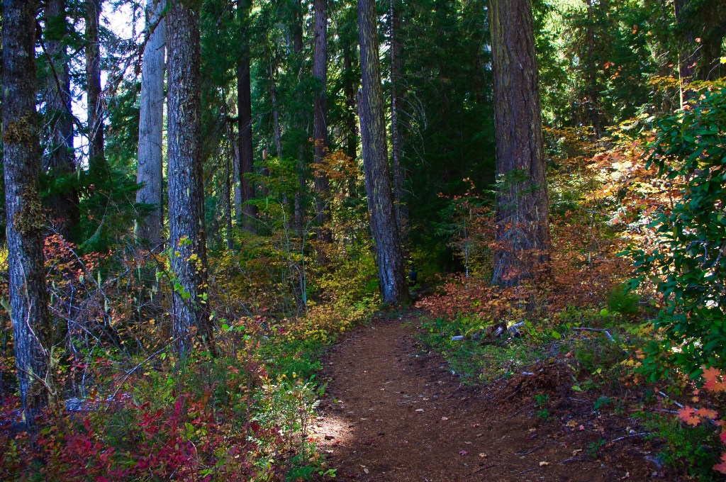
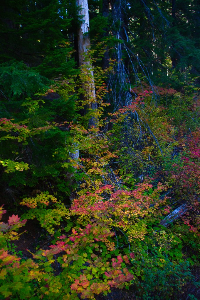
It is nice and shady with lots of color
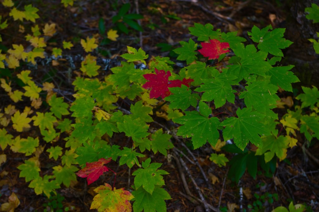
Pretty soon we came to the second bridge that crosses Fish lake creek. This is where the McKenzie River trail intersects with the trail that goes around Clear Lake.
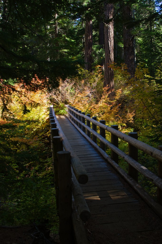
My goal was to go to the fingers of Clear Lake to get the shot of the lodge and the 3 Sisters Mountains. So, we didn’t cross this bridge even though my secondary goal was to go to the Great springs. I remembered the bright turquoise blue where the spring hits the lake.
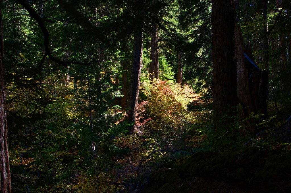
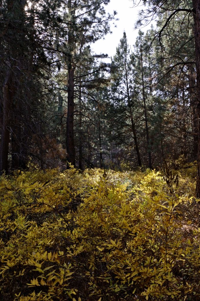
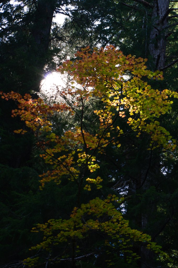
Here on the main trail, I was getting all the color I wanted. and I was enjoying the challenge of photographing the bright trees in the shade of the Douglas fir trees.
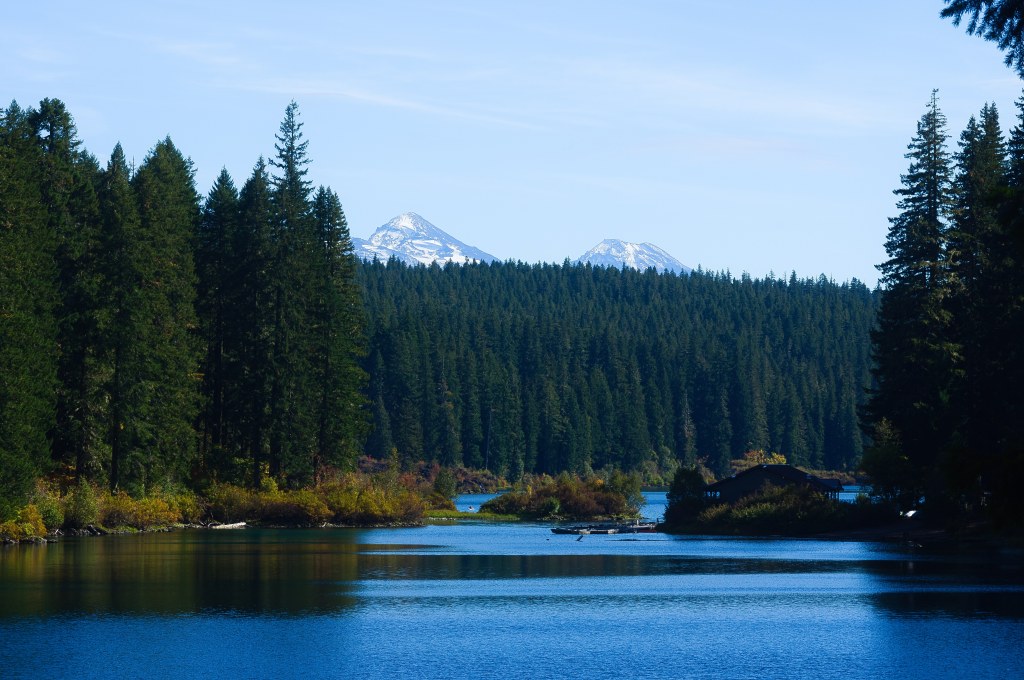
Pretty soon we accessed clear lake, and there was the shot I wanted but… Well not exactly what I had photographed before. It was a nice summer day we were in the cool shade watching kayakers making their way along the lake shores
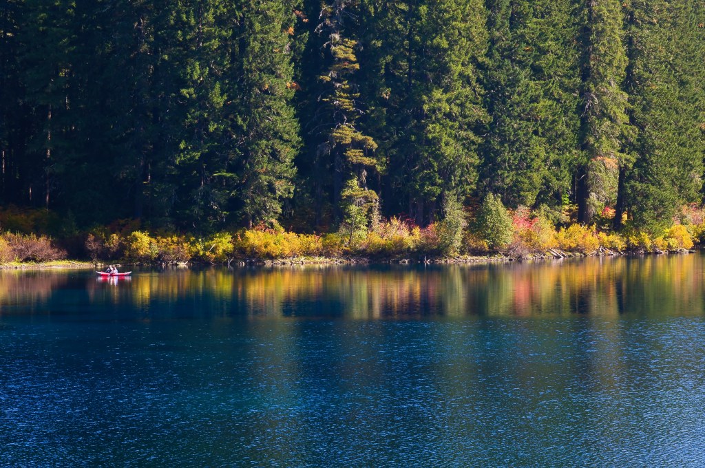
The color of the lake was intense, and I was enjoying the different angles of shots.
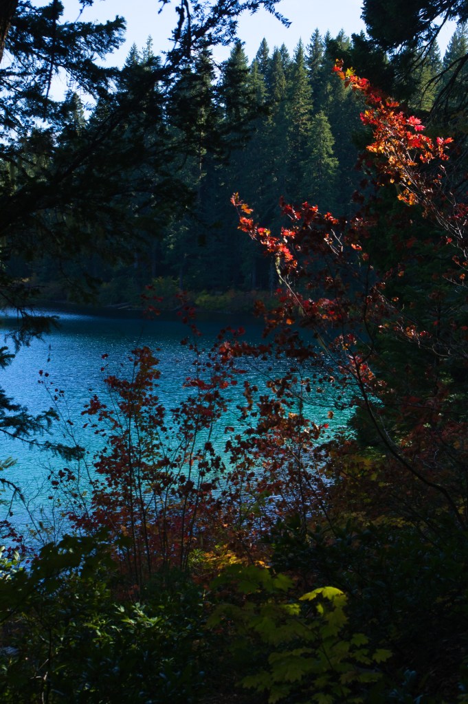
The Colors, of the leaves and the lake were mesmerizing….
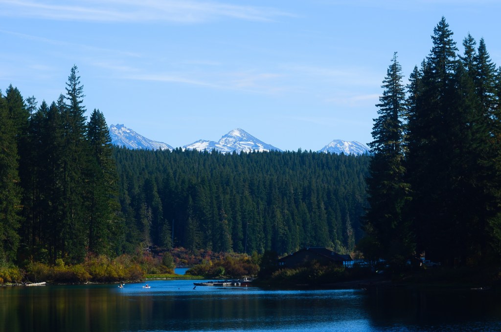
I came to an old log that many people had climbed on over the years and there was the shot I wanted. We rested a bit on the bench placed just for this view had a bit of lunch then continued on around the bend because the Colors of the water ….
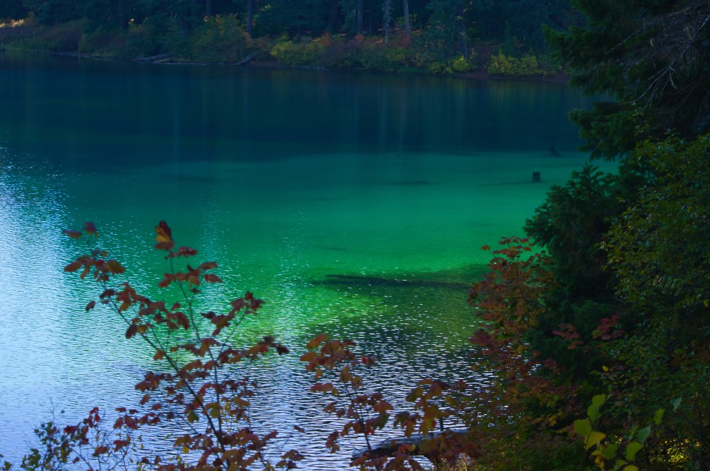
3,000 years ago, the McKenzie River was dammed by the lava flows from Sand Mountain. The trees that were in the valley were trapped underneath the water and have never surfaced. Standing as a ghost forest underwater. You can see some of the underwater trees in this photo.
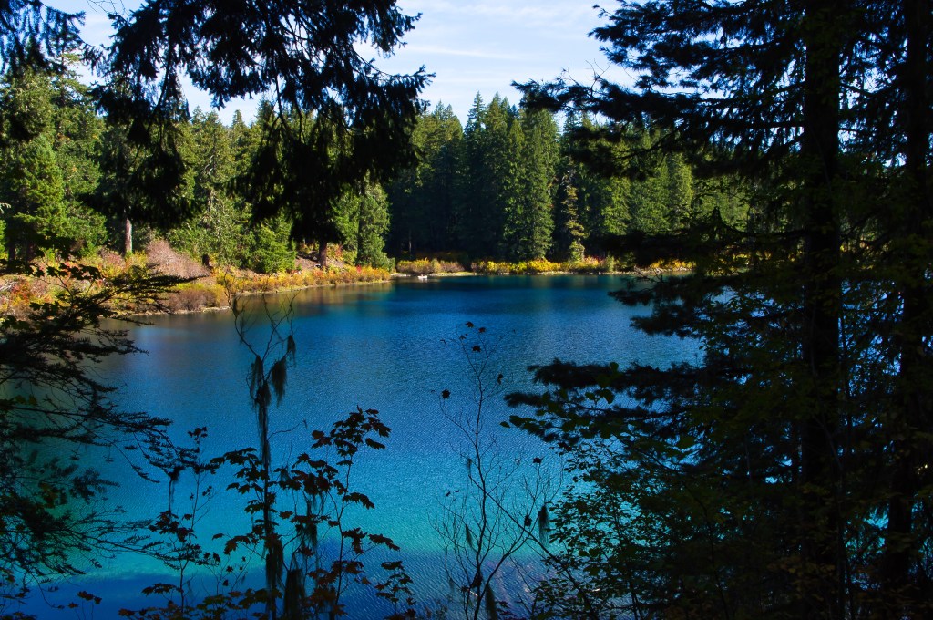
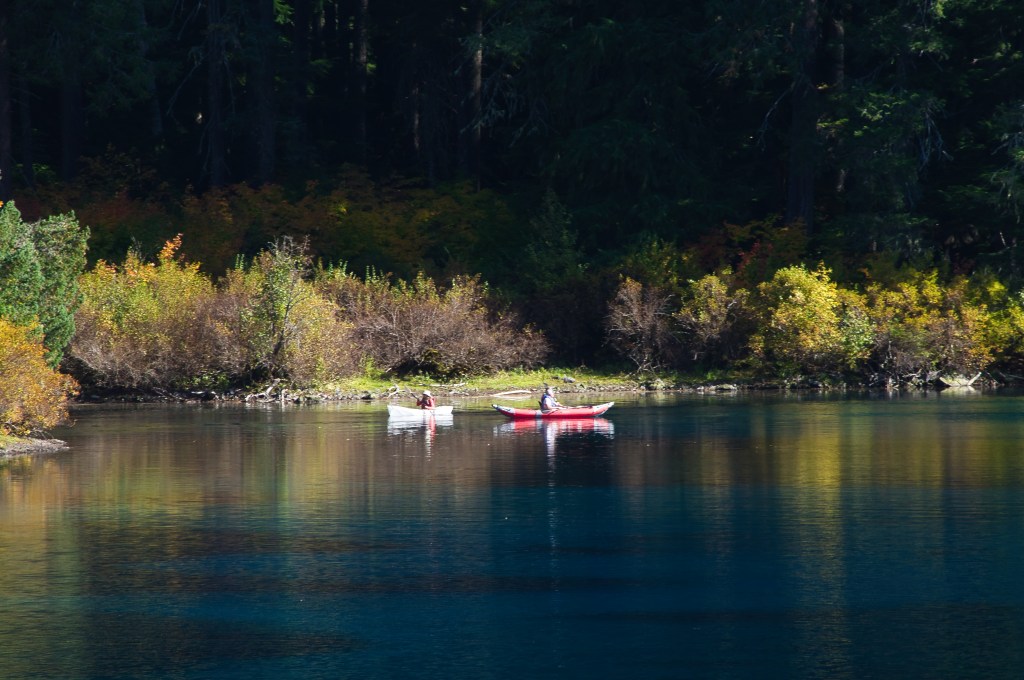
I knew that these paddlers were working their way into Great Spring, then working their way over to the cove we were in.
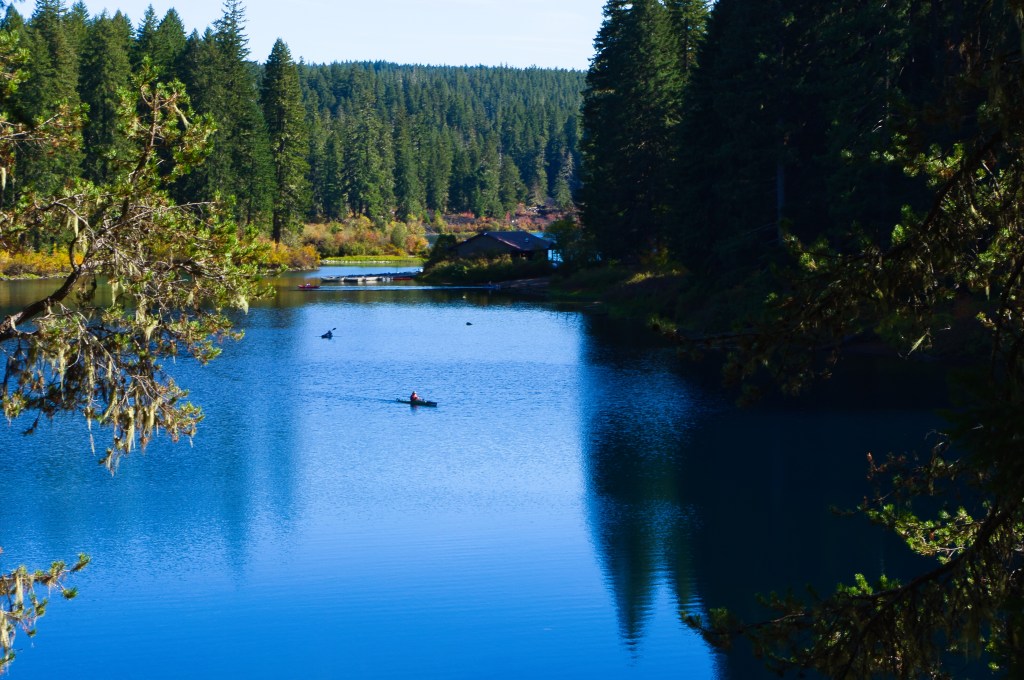
The colors were so intense, I couldn’t resist taking more and more photos.
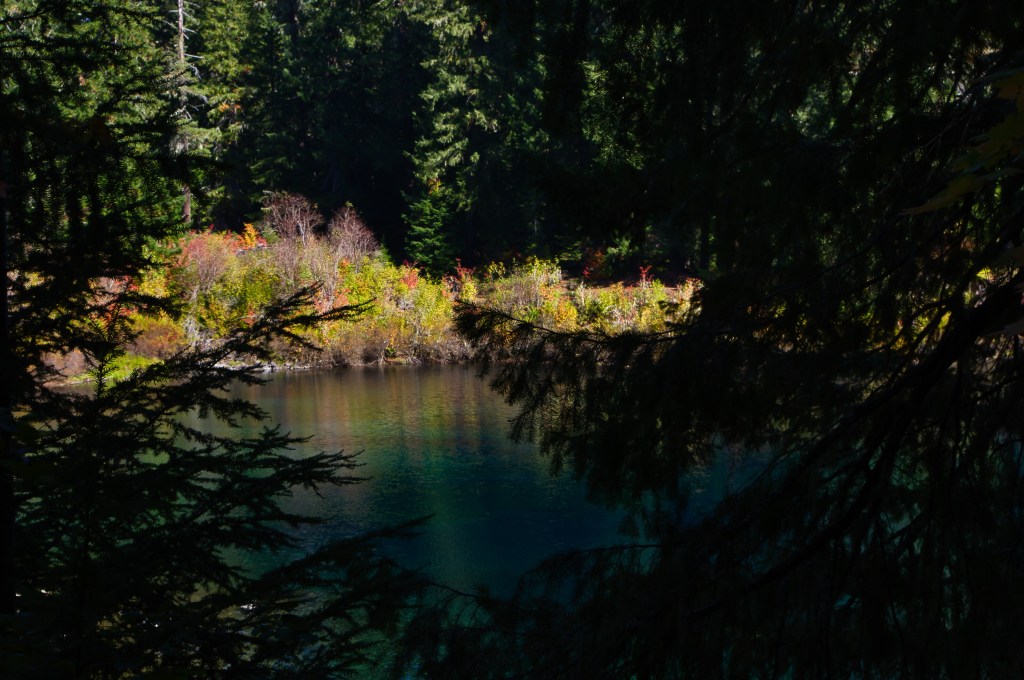
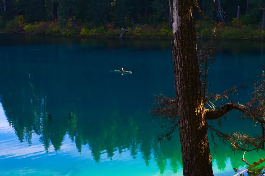
Soon it is time to head back to the car, Slowly.
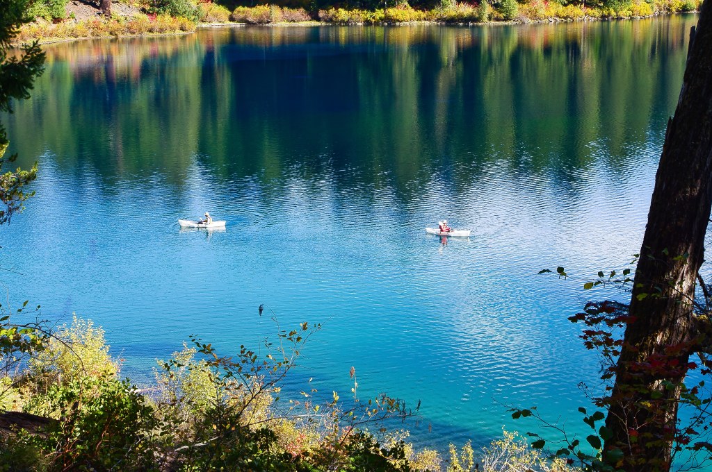
Enjoying the colors of the lake and the forest. Watching the paddlers
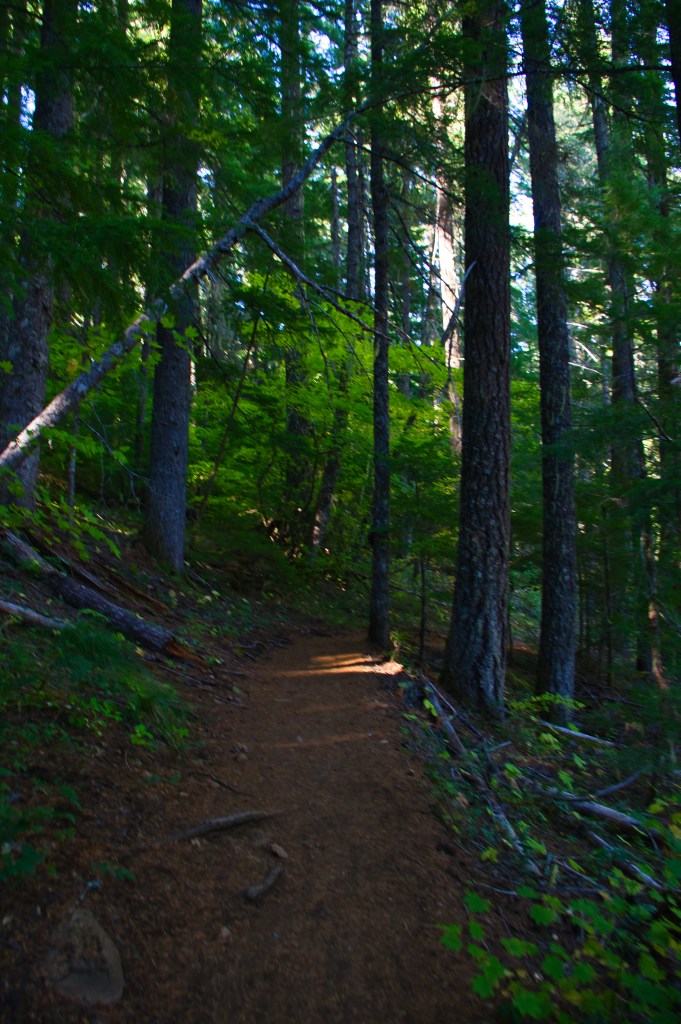
Soon we are at the bridge where the trails intersect.
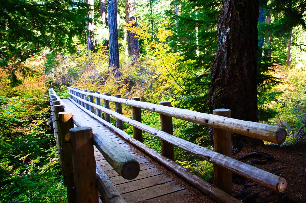
Robin suggested we go this way and I am glad we did at least for a few feet.
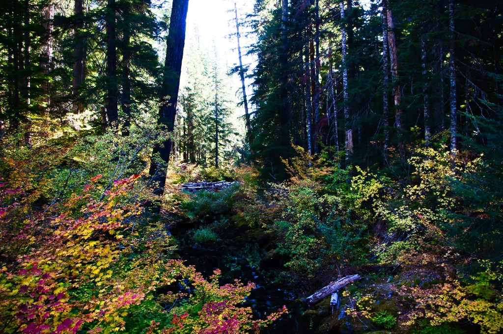
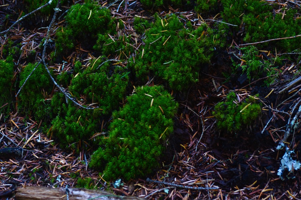
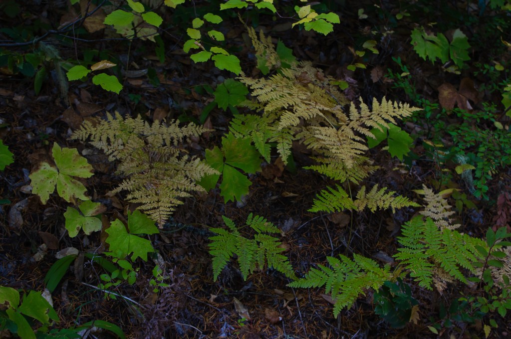
Robin wanted to know if I could photograph the green moss along the trail…. Sure…..
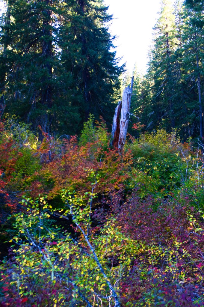
Eventually we made it back to the trail head where we started.
We talked about going into the clear lake parking area at the lodge…. but I was unclear on the parking situation and why we would need to pay the county to park. We decided to go a bit further down highway 126, to Sahalie Falls which is the first water fall down the McKenzie river from Clear lake.
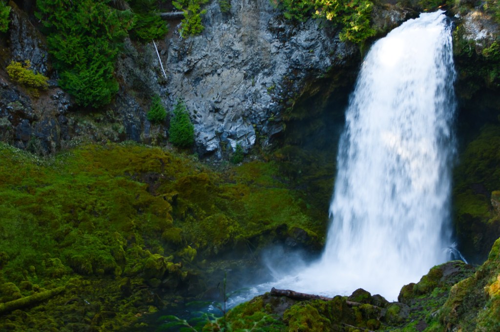
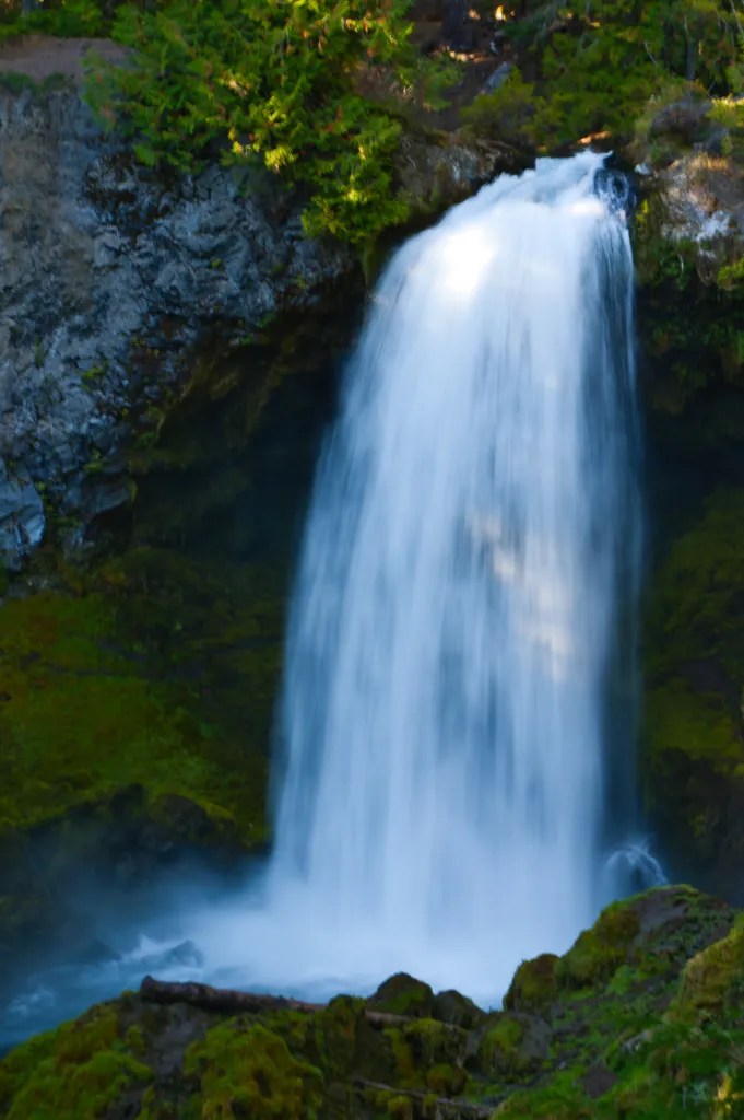
This is one of my Favorite falls to photograph. simply because it is easy to get too.
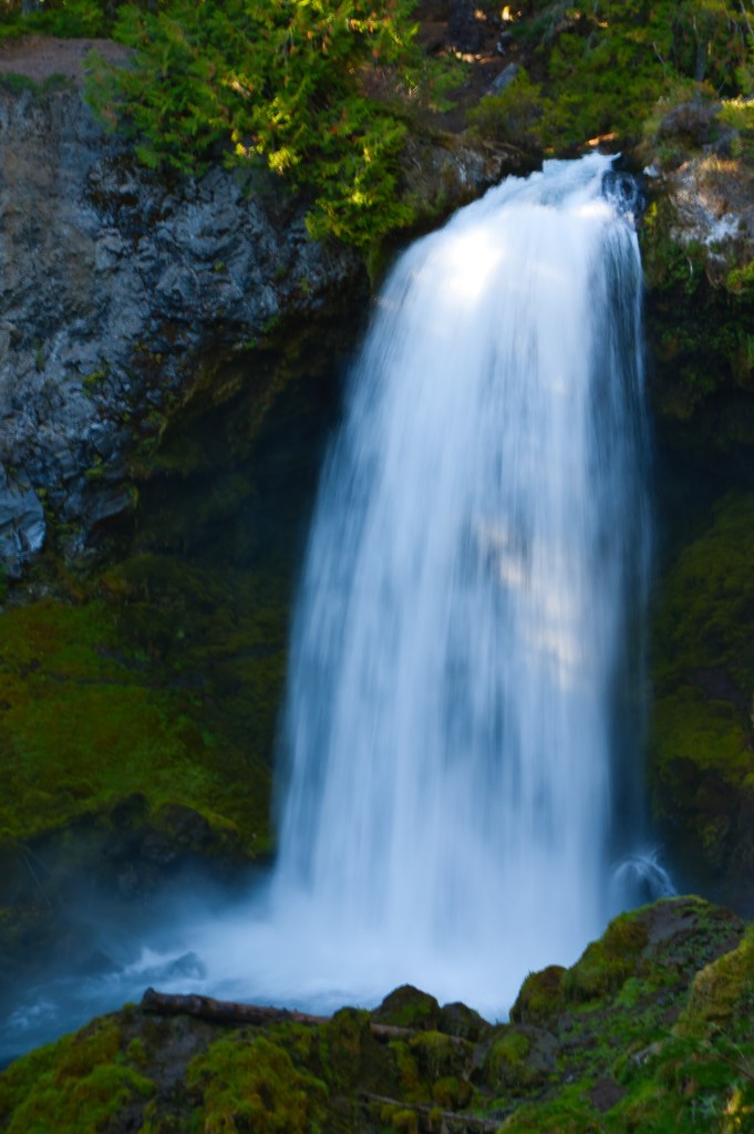
The first shot is photographed with a fast shutter speed capturing the water instantly. The second shot I slowed down to about an eighth of a second allowing more water to flow through the photo. Not my best work, but a good reminder to not always shoot things the same way every time….
Thank You, Robin, for going along with me on this Fall adventure. Maybe next year Geri and Susan will be able to come with us….
The Power of Friendship: Hiking The Upper Deschutes River Lava Island.

When I moved to Central Oregon 30+ years ago, I had big dreams… I wanted to be a photographer like Ray Atkinson or Erskine Wood. Both Oregon photographers I have admired. I even worked for Erskine and Nancy; in the early 80’s. I had participated in the County fair photo competitions and never won better than honorable mention…. but still I had the drive to do better. I had this high standard that I wanted to achieve, and I knew I could do it with work…. But time, finances, different interests, and different technology in photography, got in the way. Maybe the most important was my own fear of what the unknown would be and that I didn’t have friends to guide me into that unknown. In the past I have always had a big dog to go with me on these hikes that I wanted to do, but the rules have changed on that… I also fell victim to the thought ” Oh that hike is close to home so I will do it later…” Later never gets here.

I joined the Bend Parks and Rec after COVID because I felt I needed to be more active. I have met a lot of fantastic people there and made friends with some ladies who all have different lifestyles, experiences, and interests than I do. Three of the ladies also wanted to get out and hike and a few of those hikes have been featured in this blog.
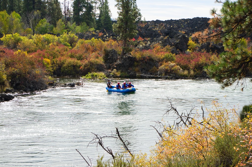
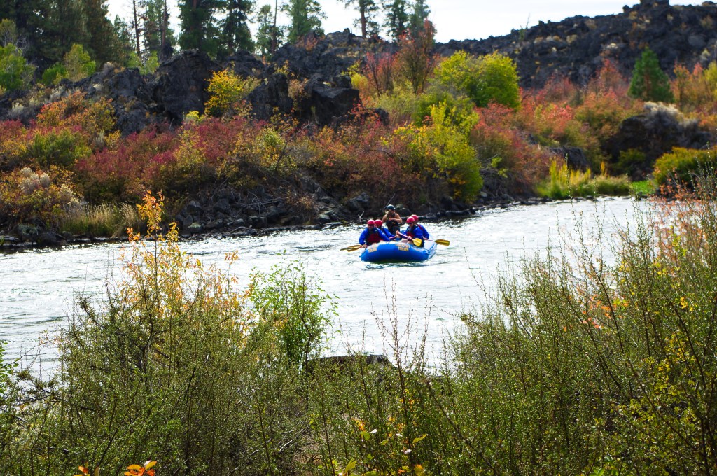
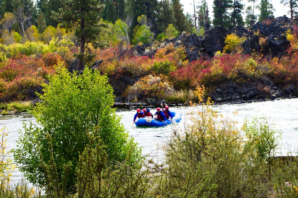
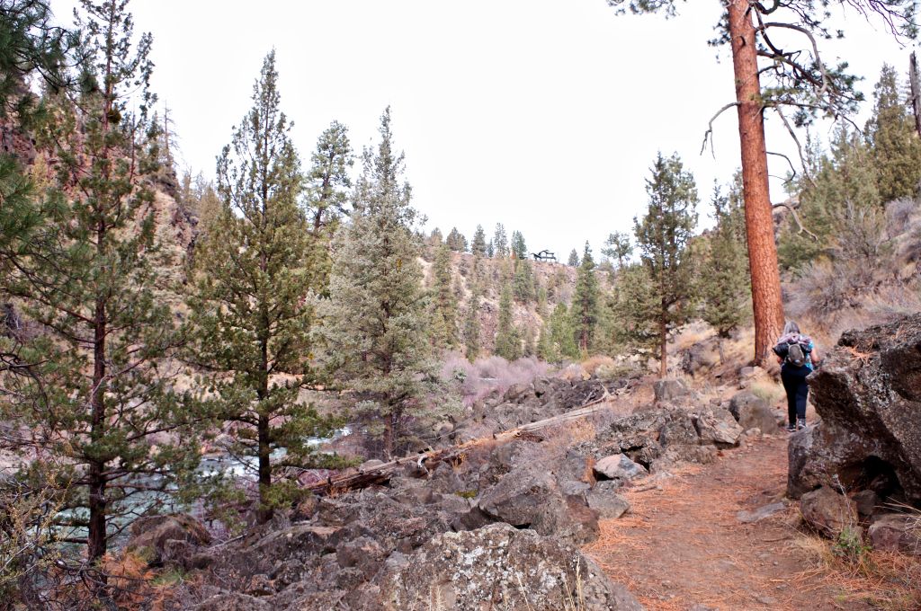
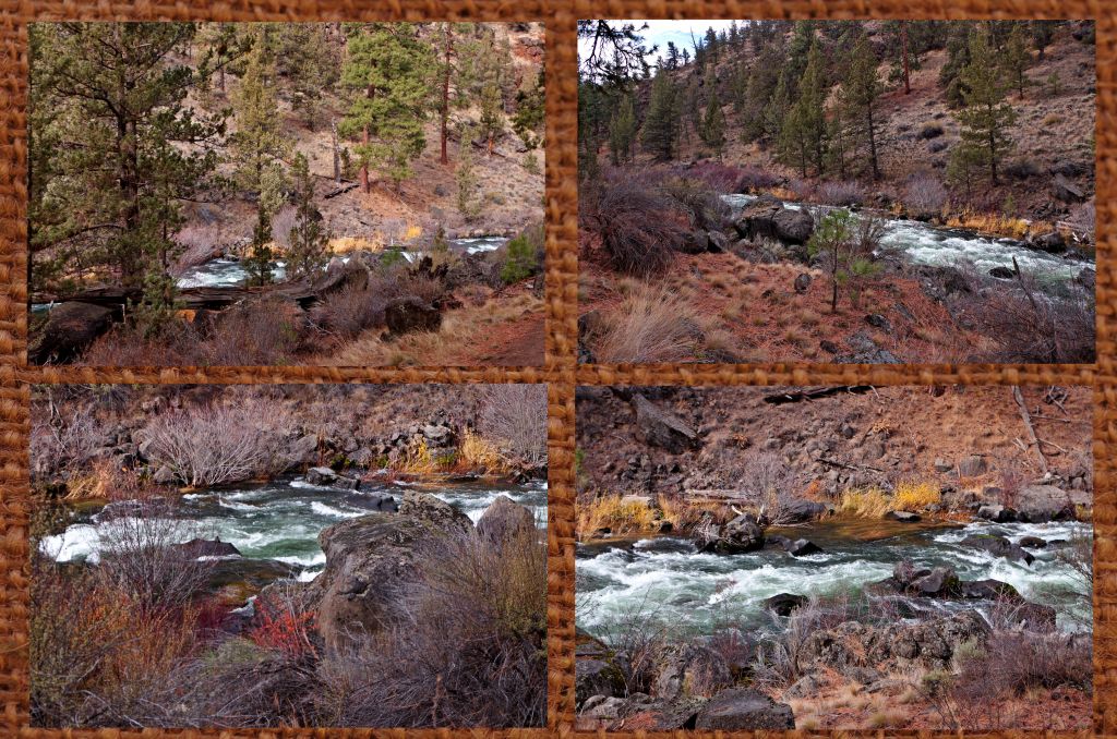
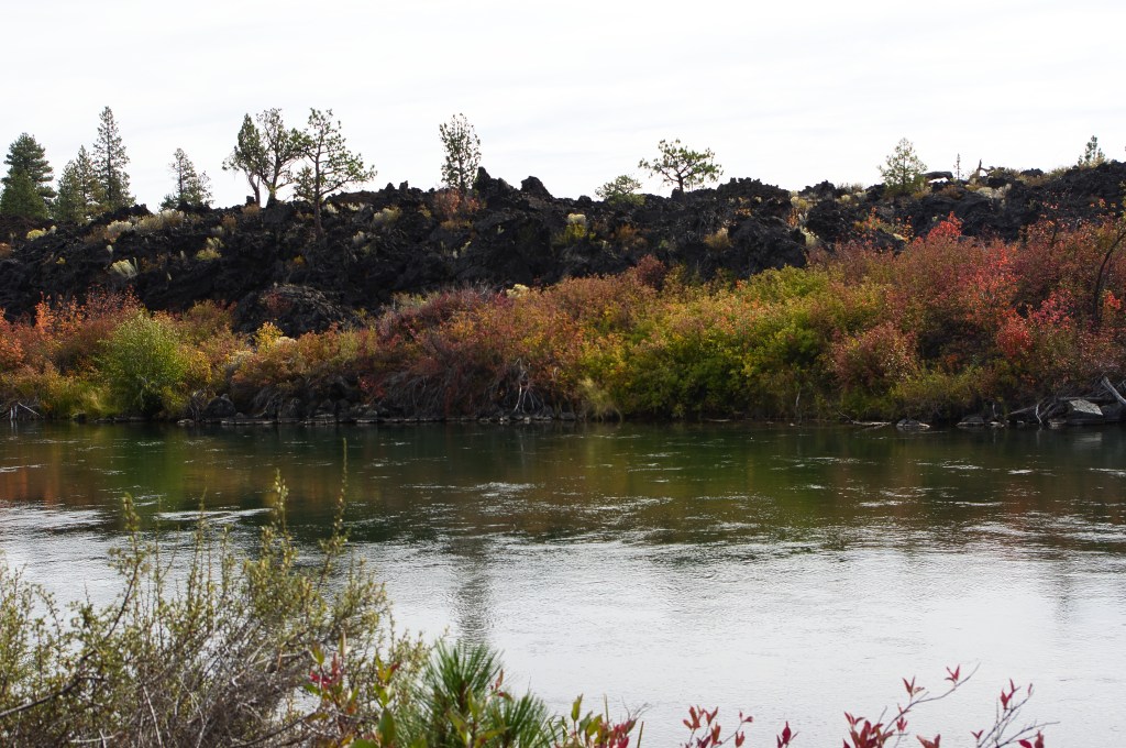
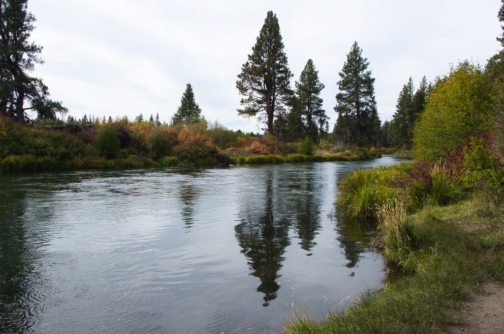
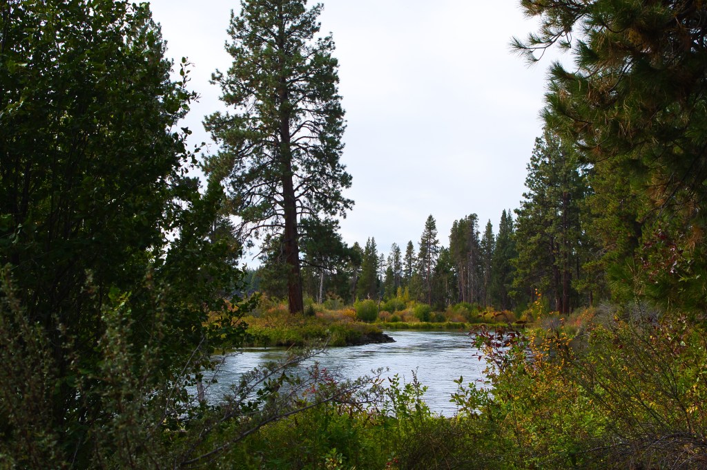
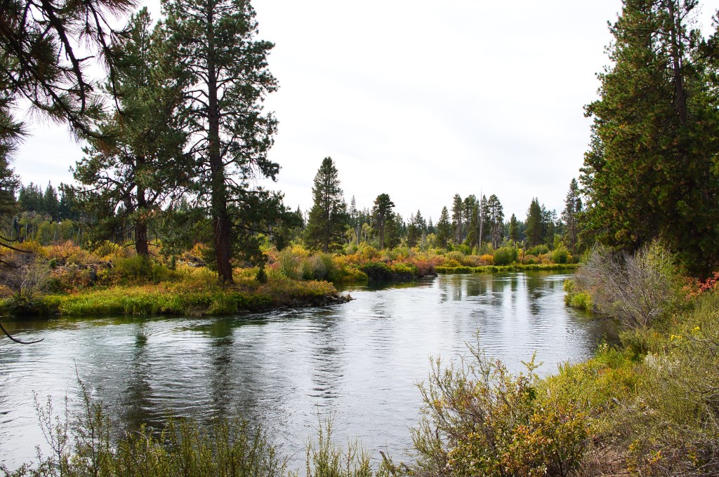
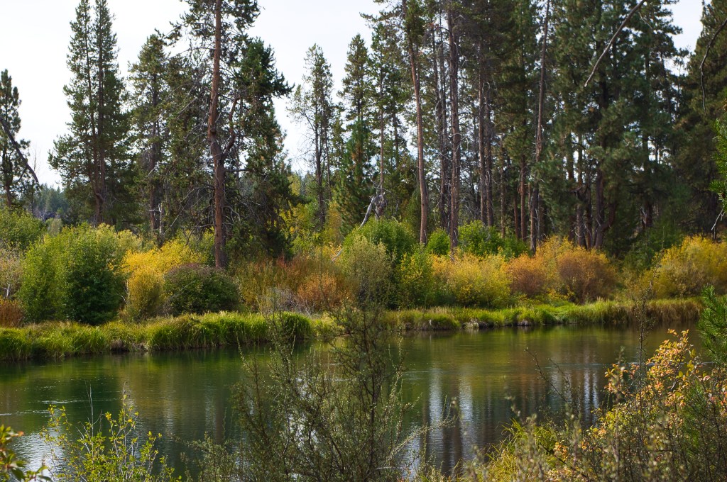
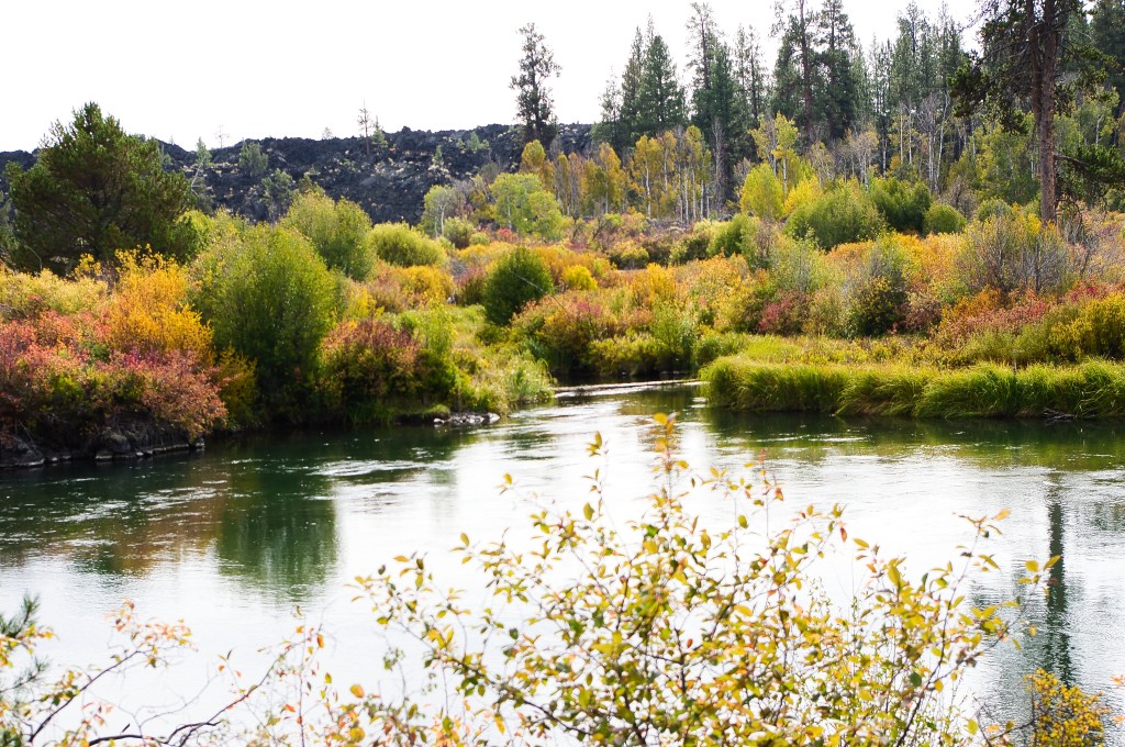
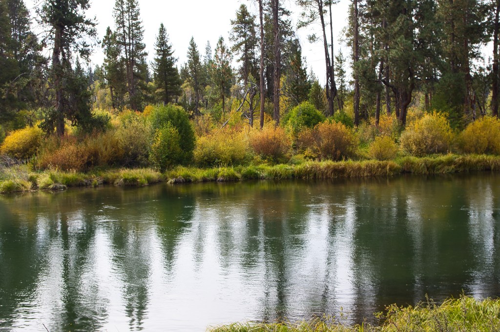
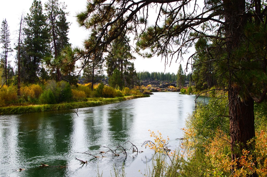
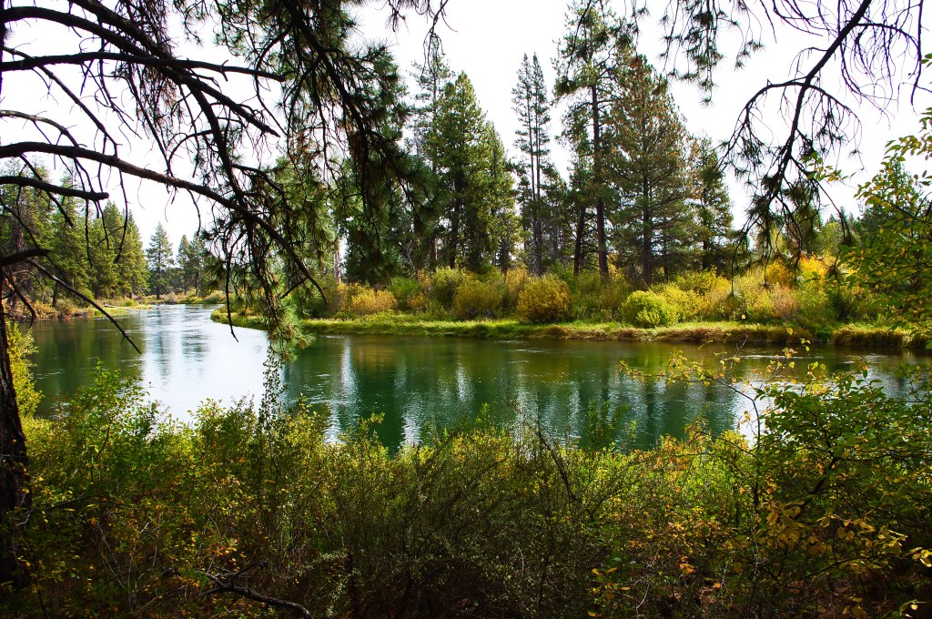
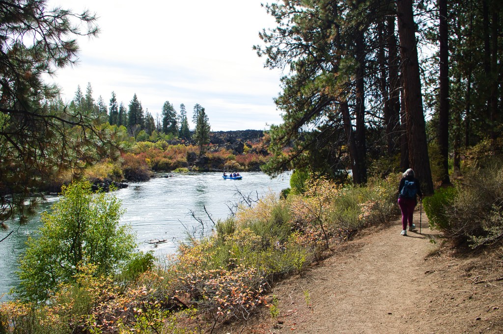
This hike is another one that was thrown together when a stray comment resulted in plans that had to be changed at the last minute. It was organically thrown together on a Facebook post and the two of us went out to the upper Deschutes River. Close to home but I had never taken the time to do it. what better time than when the fall colors are just popping,

We started at Lava Island Falls and because I took over 180 photos that I whittled down to about 75 to process, I am breaking this into several posts….
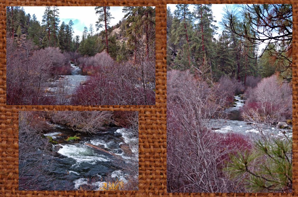
Thank You Robin for Saying Let’s Go

Friendship is Team work

and it all works when we engage and support those who can’t make it,

and to be willing to be flexible when things change.
Because the Power of Friendship is the strongest when we all engage and are willing to work through the fear of what is unknown…. and are willing to support those people who want to be there but can’t just yet.
Thank You, Robin for making suggestions….

Attending the church of the Juniper and Sagebrush

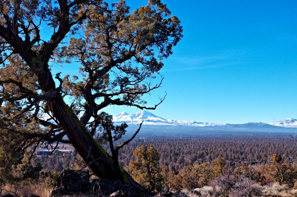
This morning a friend and I both shared a post on Facebook about mother earth being a church. I have always thought of the forest as a church and a place to rejuvenate. A place to talk to the trees work through issues and in general calm my restless soul. Plus, the trees never tell your secrets. When I came to Central Oregon, I lived near a place I could hike in the pines. And those pines heard a lot. A few years later I moved a few miles east and my hiking place was in the Junipers. Honestly it took me a few years to find the right place that calmed my soul.

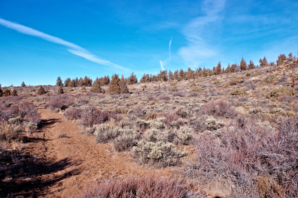
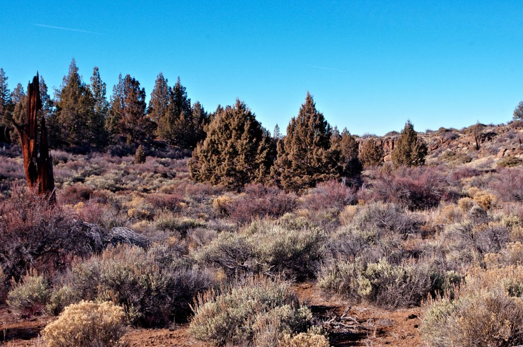
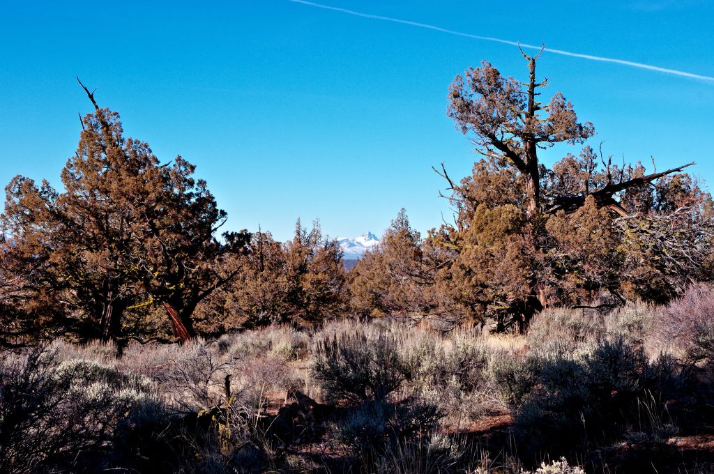
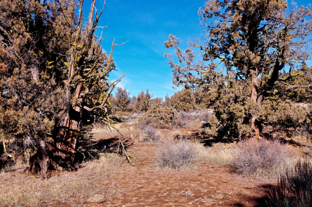
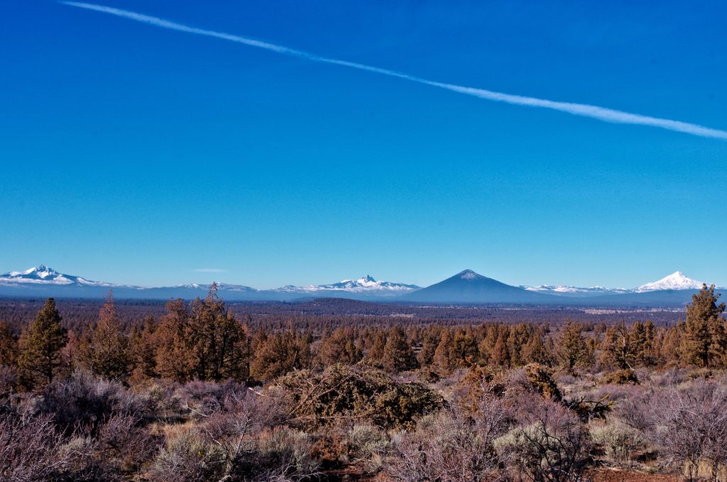
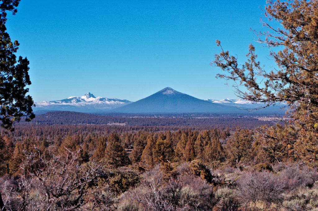
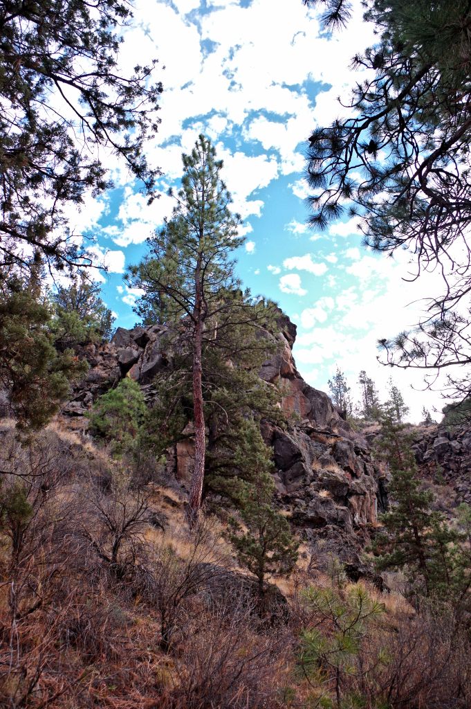
This area is big an open it has canyons and buttes I can climb up or go down. I hike the area so much I am not likely to get lost because I have many visual landmarks that guide me. I call this area Sage Ranch rd. butte and canyon, I also refer to it as my church of the Junipers and sagebrush.

This area has ancient history, it holds secrets since the beginning of time in Central Oregon.

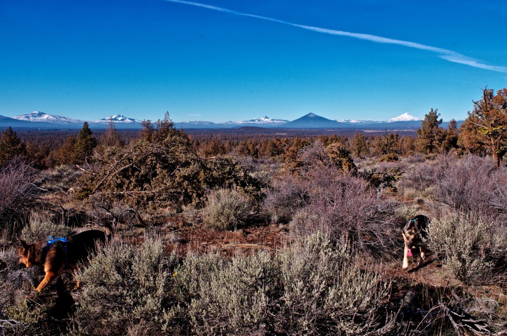
Today’s hike was not to calm my soul or to vanquish things that anger me. It was simply a good winters day to get out and enjoy the old beings that have lived here for 500 -1000 years or more. My original plan was to hike down into the canyon climb up the canyon wall close to where the Sage Ranch canyon, Deep canyon, and Fryrear canyon seem to meet. Those plans changed when I noticed someone parked in the parking area for the main trail. I drove a few yards further and parked across from the butte, deciding to climb it instead. It doesn’t matter to me which direction I go in this area it is so big we can all enjoy it. I can let my German Shepherds run without bothering anybody.

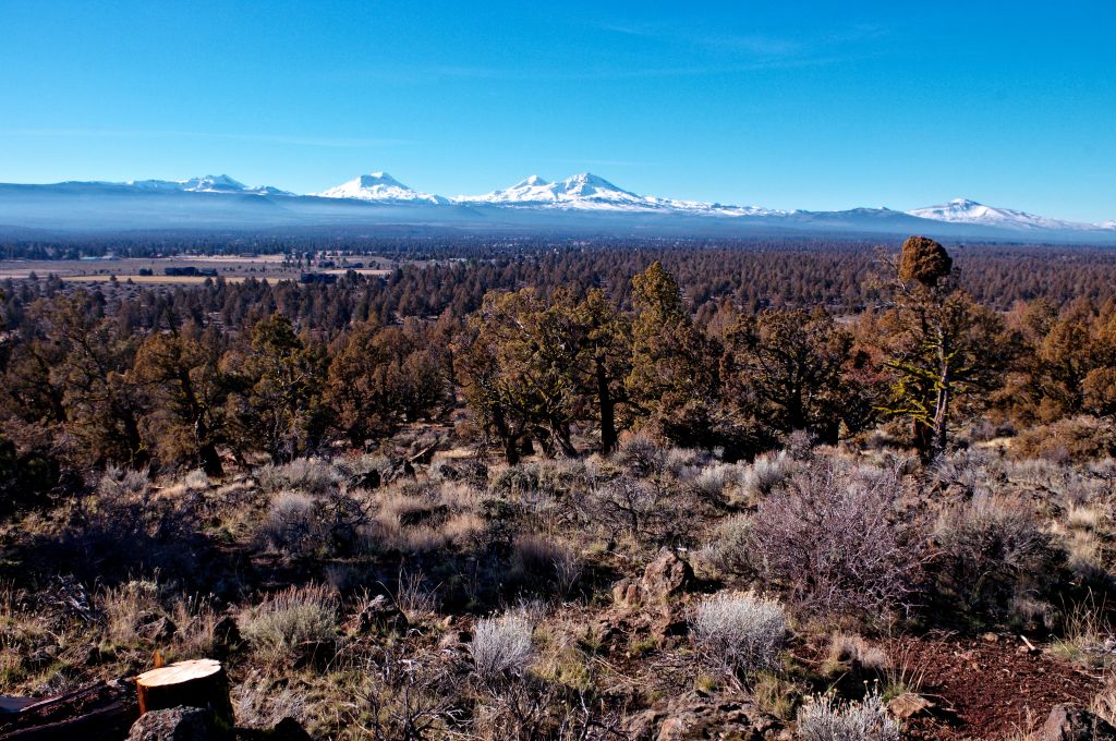
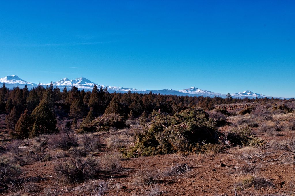
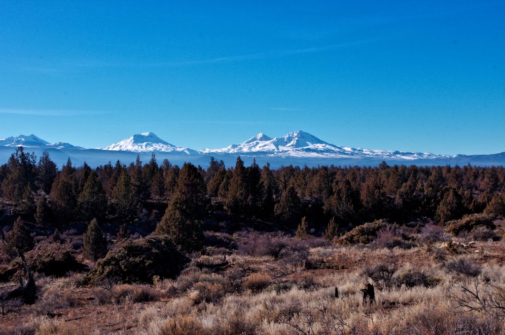
You will notice in most of these photos large piles of cut juniper. For many years we have let this land go natural except that we put out all the fires. So natural wasn’t natural and the area is overgrown with dead sagebrush, tall bitterbrush, and young flammable juniper trees. At one time I had found a plan for this area that BLM had been working on. It involved making a new trail head closer to Fryrear road and adding more horse trails. It wasn’t specific enough for me to determine but I had hoped that it included this area. Because lets face it My Church of the Junipers really needed a make over. A rejuvenation. This year is the year for that to start, and I hope next year these piles are burned.

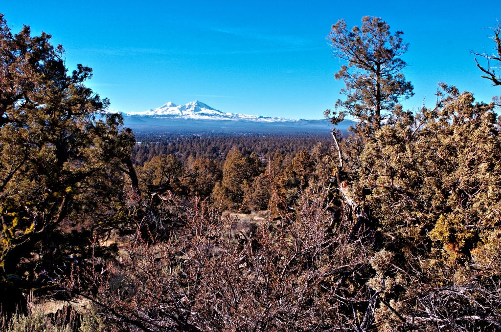
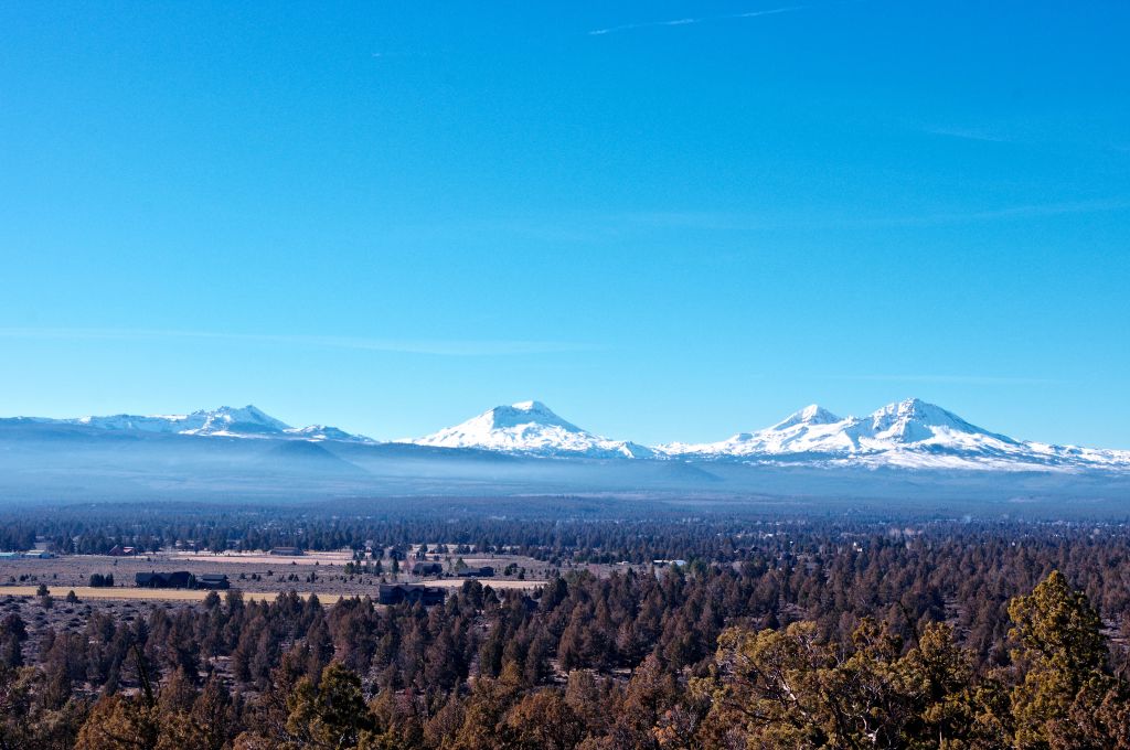
in the mean time I am enjoying all of the views opening up that I couldn’t enjoy because there was a tree in the way…

After an hour up on the butte it was time to work my way down into the lower area and the main trail.

Time to go back to my car feeling refreshed by a good hike in the Junipers

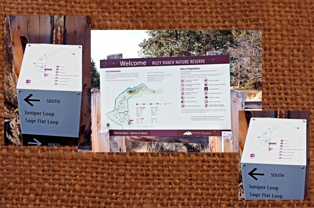
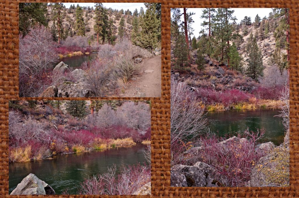
Hiking from Reily Ranch nature preserve park to Tumalo State Park

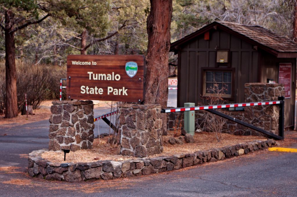
I had wanted to hike the trail from Tumalo State Park upriver to the Reily Ranch park. So when Robin asked me where did I want to hike? I said ” Uh… that park above the Shevlin park trail… You know that uh… Ranch….” Ok a little bit of brain fog there. Lucky for me she knew where I wanted to go. So, the plan was we would meet at Tumalo St. park leave my car there, she would drive us up to the Reily Ranch Park and we would start the trail there, hiking along the Deschutes River down to Tumalo St. Park.

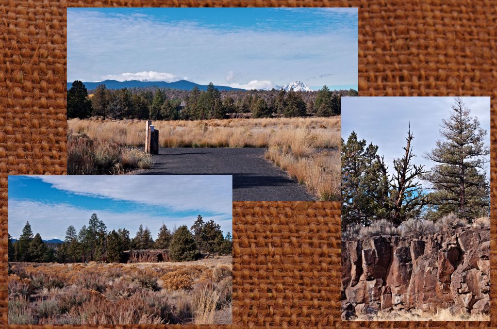
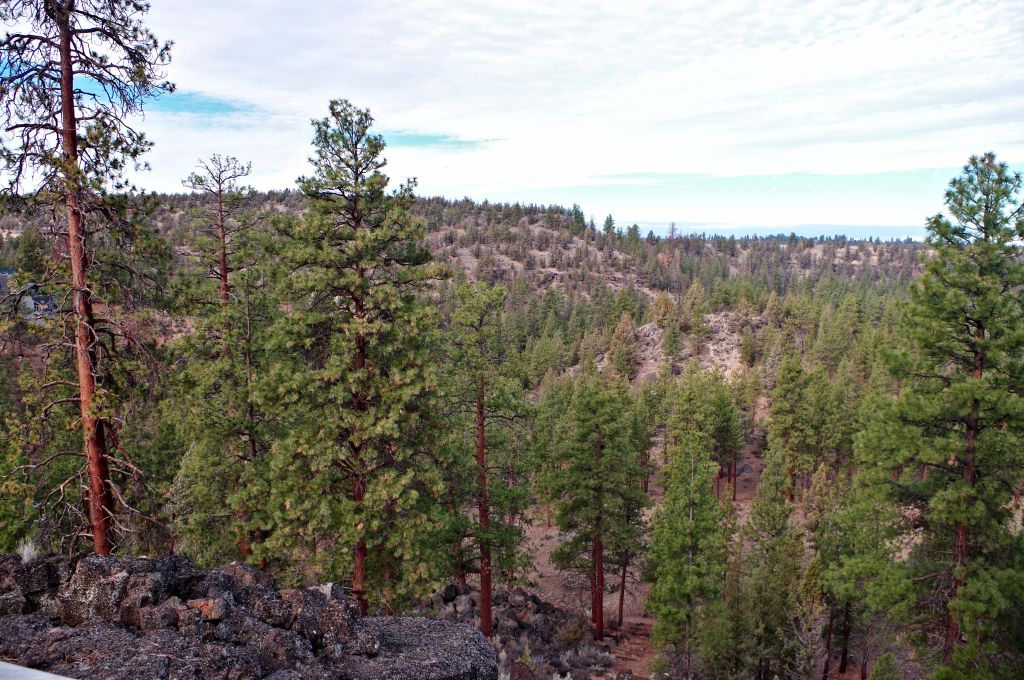
It was a beautiful sunny morning with no wind and Reily Ranch Nature Preserve Park is beautiful. The mountains were playing hide and seek in the clouds. We started on the juniper loop then went on the Sage flat loop, where we stopped and checked out the Canyon Overlook

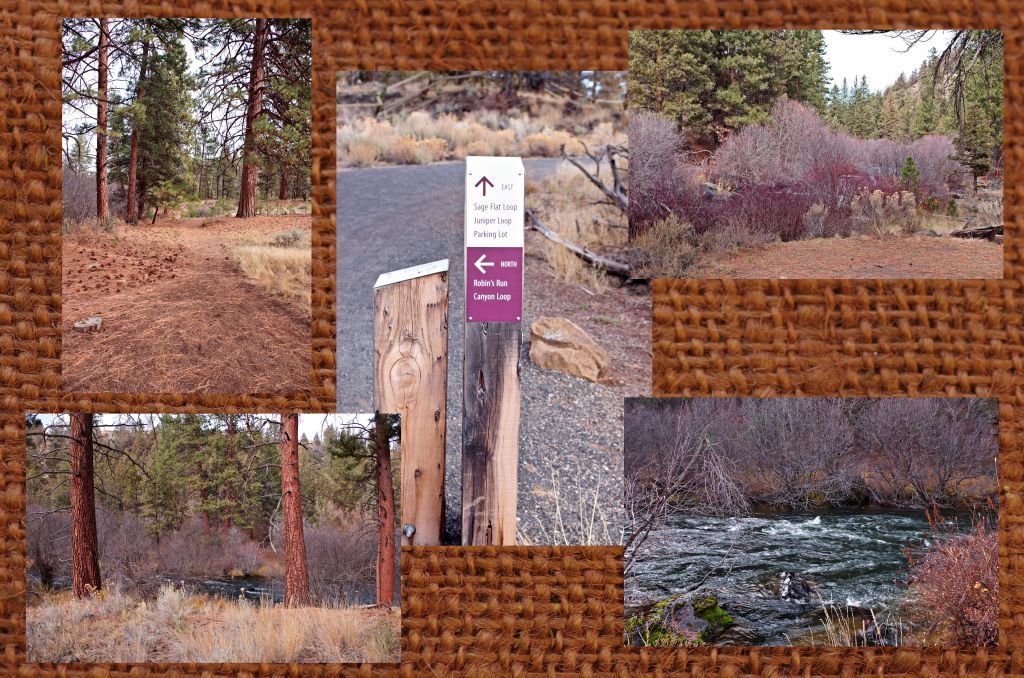
Moving on we walked to the Robins Run trail head and went down towards the river

It is a bit steep compared to the rest of the trail but not unreasonable.

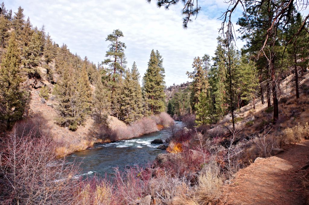
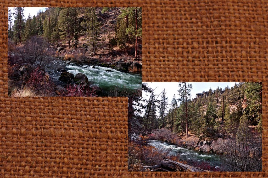
the views of the river were incredible

Robin and I took our time and enjoyed the conversations, the views and the weather.
We came to the confluence of the Tumalo Creek with the Deschutes River and commented on how beautiful it was.

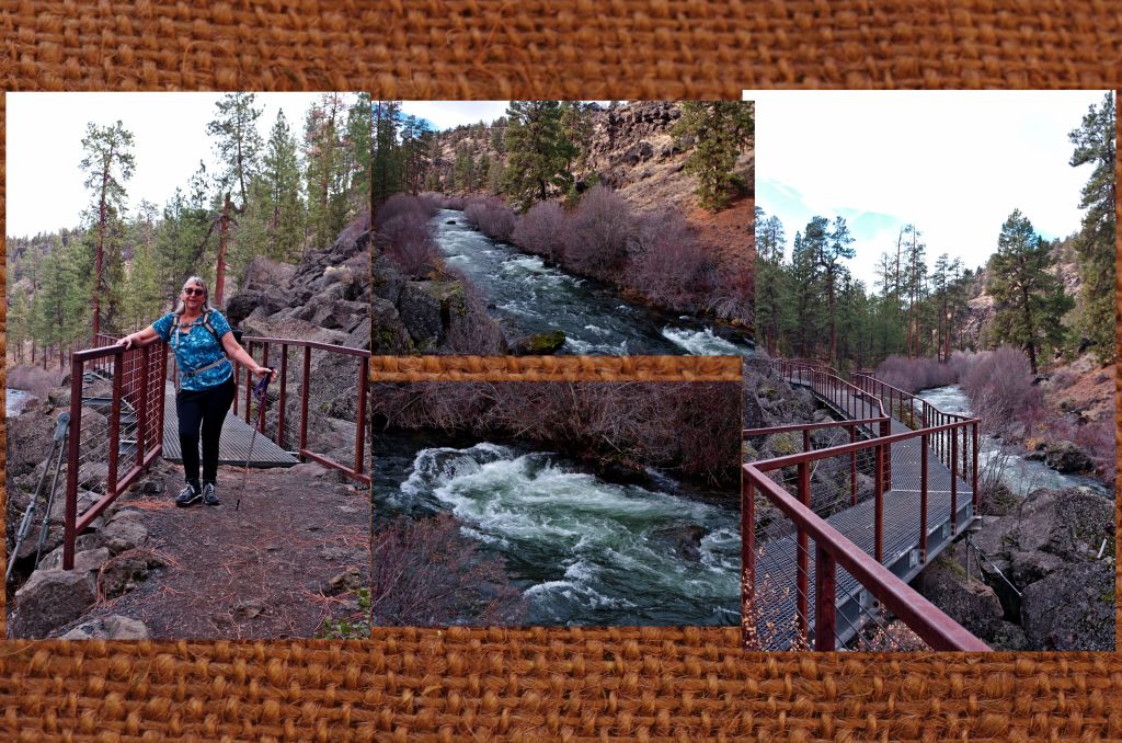
Soon we came to a bridge that went over the boulders along the bank of the river allowing hikers to continue on easily

Robin and I both wondered what it took to build this bridge so that it held. against possible floods or shifting boulders….
After the bridge we stopped and had a lunch, the pace was easy and I had been stopping a lot along the way to take photos.

The one thing about this trail is it does cross private properties, and they have allowed hikers to cross as long as they stay on the trail. So, when hiking along the trails be respectful of their property. Because these views are just too beautiful to miss.

Too soon we ended our hike at Tumalo St park and when we were done, we had hiked 3.1 miles. I had taken 175 photos, and we did it in a little over 2 hours.

Robin asked if I wanted to do it again only maybe hike from Tumelo St. park back up to Richardson Ranch Park?
Absolutely!!!
Because every view changes when you look at them from a different direction…. and hopefully we can pick a time when the other two members of the hiking group won’t have prior appointments.

Shevlin Park and Tumalo Creek. A beautiful place to hike

I first learned about Shevlin park more than 30 years ago when I would go to Bend on the back roads. But I never stopped. I always meant to. It was the site of a major fire the year we were building our log house here, and always on my radar to go. However, like many close destinations I will go later. Now being a member of the Bend Parks and Rec. system, I am looking at these parks close to home and saying why not? They are close, they are easy to get to, and I have friends through the park system who also like to hike. We all need a little exercise in nature that doesn’t require a major hiking plan with permits and large backpacks filled with food, bedding. and tents. A simple way to enjoy what Mother Nature has given us and the parks and rec. has preserved.

I had shared a post about Shevlin park on Facebook and said I wanted to go hike there one day… Thank You Robin for saying ” Why not Friday or Saturday?”
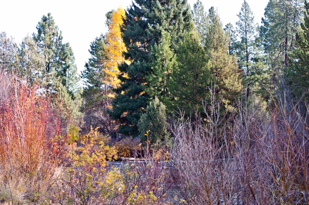
Saturday dawned bright and sunny a perfect day for a little hike. Three of the four of us met at the parking lot where the Aspen Hall is, and we started out. I admit I kind of forgot to take my camera out of the backpack, I as enjoying it so much. but the sight of the yellow Tamarack /Larch tree against the green evergreens and the red willow stems was too much to pass by without the photos. I let my hiking partners get ahead and sure enough they walked through the photo (in the center of the top photo). Then I concentrated on that bright yellow tamarack.

Because I dawdled on this shot, I had to hustle to catch up with both Robin and Susan. Not that difficult for me, but unusual since I usually am ahead.
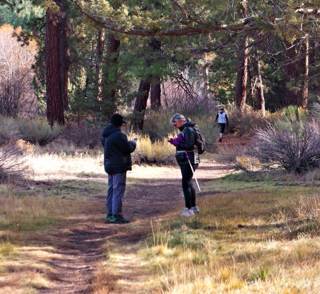
I found them both waiting for me and checking the maps downloaded on their phones.

I couldn’t resist this shot. The hiker in the back actually stopped and asked if we needed any help. We were ok they were just trying to figure out where we were in relation to the end of the trail and a couple other parks that are adjacent to Shevlin but on the other side of Tumalo ck.

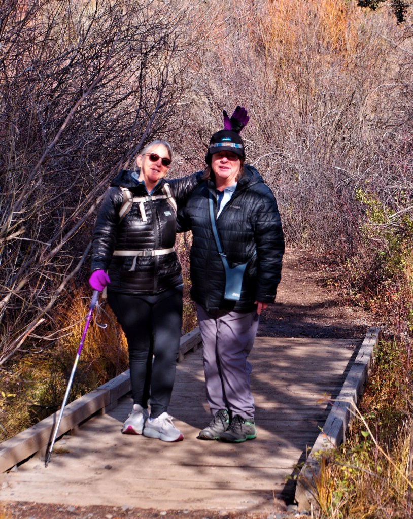
A few feet further down we came to this little bridge and Robin said “Photo time” we continued on to the weir.

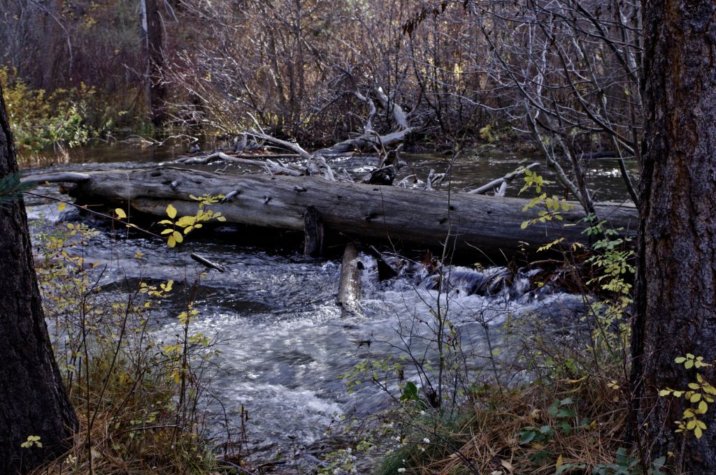
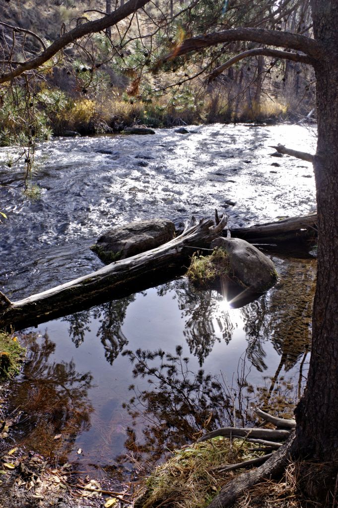
there was a lot of interesting things to photograph along the way

looking upstream from the dam. There is a nice picnic area there to stop and eat. We sat and rested then decided to continue on to see where the trail ends.

At about this point we were about a mile and a half out and should be thinking about the return trip. This portion of the trail was a bit rougher than the trail below the weir, and we knew that the trail ended a few more feet ahead of us so we turned around.

Susan took this shot of Robin and me, because we all know the photographer never gets in the photos and wasn’t really there….


we crossed several of these little bridges along the trail

I so loved the bright yellow colors against the darker evergreen trees.

As we were coming around the corner towards the weir I spotted this bank of yellow Aspens, I didn’t notice it as we were going up the trail


We stopped and had a little lunch/ snack, chatted and just enjoyed the sun along the creek. then headed back to the Aspen Hall and parking area.

As usual I was stopping and taking photos so got behind a bit.
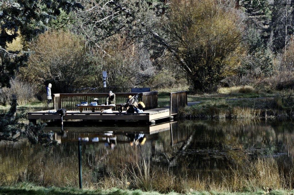
I soon caught up to Susan and Robin who were sitting at one of the picnic tables outside the hall chatting and watching the families fishing on the small pond.

we sat, chatted some more and enjoyed the nice sunny day. All the while making more plans for hiking the parks of Bend Parks and Recreation.
I am ready to go again… any time.